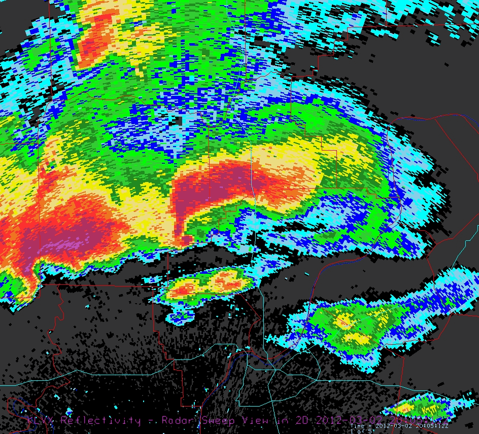
Radar image above shows two supercells, with well-defined hook echoes, north and northwest of Louisville, Kentucky on Friday afternoon. The leading storm produced the tornado that struck Henryville, Indiana.

Radar images above (from Jim LaDue's blog - http://jimladueview.blogspot.com/ ) are of the tornadic supercell that struck West Liberty, Kentucky. Photo below is probably a shot of the West Liberty tornado.

No comments:
Post a Comment