
There were indeed heavy clouds around yesterday and earlier today. Unfortunately I was mostly on the run without my camera, so here are a couple of photos from the Computer Science web cam on campus. Top (yesterday at 3:00 pm MST) image shows some virga and a hint of the mammatus that were more pronounced south of the Catalinas. Image below (today at 9:00 am) captures just a bit of the mammatus that were very pronounced, with virga, over parts of the City.
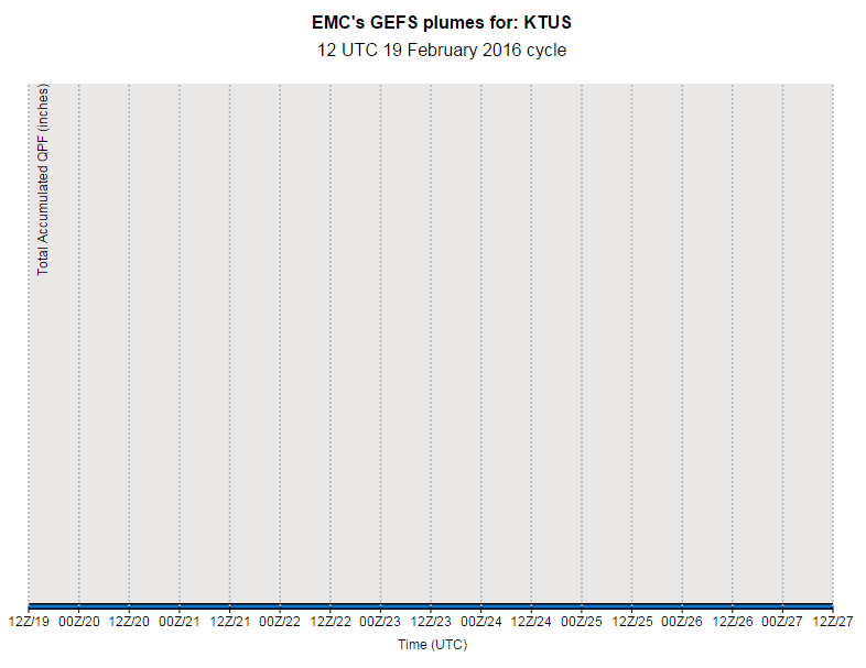
The GEFS plumes product is again up and running - image at bottom shows the flatlined QPF plumes from 12 UTC this morning that run through a week from tomorrow - certainly a dismal forecast for most of the rest of February.

No comments:
Post a Comment