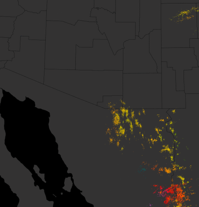
There was some thunderstorm activity along the Borderlands yesterday - CG flashes detected yesterday afternoon shown above, through 1:00 am MST this morning (from Atmo and Vaisala). The 06 UTC WRF forecasts from Atmo shift storms to the very southeast corner of the state today. The WRF-GFS forecast of precipitation through 5:00 am tomorrow morning is shown below. The models do forecast a bit of an upturn tomorrow, and then an unexciting pattern out through at least a week. The GEFS average 500 mb pattern for 00 UTC on 12 July is shown at bottom - looks somewhat June-like, with the significant trough dominating the West.


No comments:
Post a Comment