A fast moving short-wave and attendant Pacific cold front will sweep across Arizona tomorrow night into Friday morning. The system will bring a chance of light showers and a considerable cool-down for the end of November.
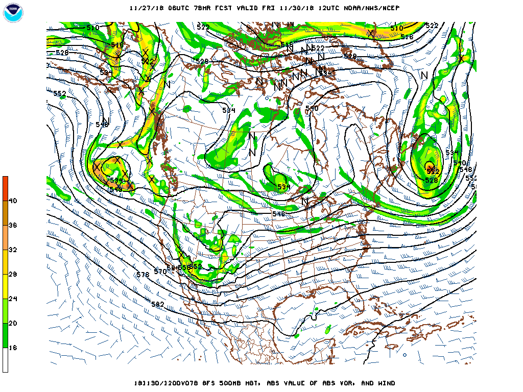
Above is GFS forecast for 500 mb level valid at 12 UTC Friday morning, November 30th. The GEFS plumes from 06 UTC - below - all forecast measurable rainfall at the airport during the early hours of Friday morning. The range in amounts goes from 0.02" to 0.42" with mean of 0.18". Second below is 06 UTC WRF-GFS forecast of precipitation through 11:00 am MST on the 30th. The NAM version forecasts just a Trace at airport.
Whatever we get here will also be the November total rainfall, and then into a new month that will start out more unsettled than most of November.


No comments:
Post a Comment