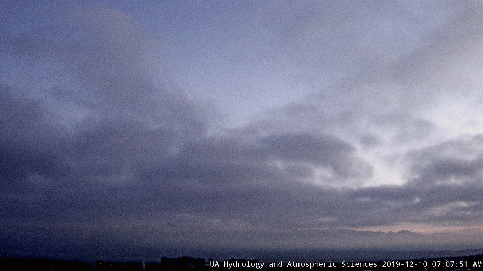
View from Atmo this morning showing both clouds and fog over the city. Down at bottom is webcam view of thick fog along I-10 at San Simon, near the New Mexico border.

Event rainfall: above from MesoWest for southeast Arizona, and ALERT data below for the Tucson metro area. Here at house we had a total of 0.68" between about 1:00 am MST and early afternoon. Two different periods with thunder and lightning. Most sites reported at least half an inch. Rain changed to snow at higher elevations, so those amounts include only the rain part of event.
Rest of week expected to quiet, with next 500 mb short wave forecast to come next Sunday and Monday, as per ECMWF forecast at second below.


No comments:
Post a Comment