
Today is the astronomical Winter Solistice, which brings us the shortest day of the year. Fair and mild conditions continue here, with no sign of winter-like weather on the horizon.
Saturday, December 21, 2024
Winter Solistice
Wednesday, December 18, 2024
Looking Toward Christmas

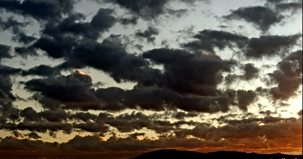
View of the Rincons a bit before before 7:00 am MST, showing perfectly clear skiews - our mild and very dry weather continues.

GFS forecast from 06 UTC this morning (above - valid at 11 pm Christmas evening) shows a small, closed-low crossing the Four Corners Region, with trough extending south across the Tucson area. However, forecast of 24-hour precipitation from the same model run (below) indicates only light amounts over the northern portion of the state. Big question becomes: Will we have any precipitation here during December?

Thursday, December 12, 2024
Quick Overview

View of the Catalinas at 7:30 am MST this morning (above) shows our heavily overcast skies on a fairly dreary start to the day.

IR satellite image (above for 1420 UTC) showswidespread cloudiness over the Southwest. However, the 12 UTC WRF-HRRR forecast of OLR (below valid at noon today) shows the cloudiness moving east of the Tucson area.

The long term GFS forecast (below - valid through 28 December) for total precipitation through December 28th shows dry conditions persisting over a large areaof the Southwest and northern Mexico.

Monday, December 02, 2024
Dry Fall Here

Perfectly clear skies over the Catalinas a 8:00 am MST this morning. Image at bottom, in stark contrast, shows conditions during NFL football game at Buffalo last evening.
Precipitation here for the Fall (Sep. Oct. and Nov) was only 0.37 - 0.04" in Sep and 0.33" inches in Nov, with measureable rainfall on only three days. Conditions were drier during the Fall only in 2017 (0.17") and 2020 (0.15").

Plumes for PW from 06 UTC GEFS runs (above) show dry conditions, becoming even drier during coming week.


This morning's forecast for the airport from the NWS Tucson Forecast Office (above) indicates mild and dry condtions for the coming week. The December outlook from the NWS CPC (below) indicates more of the same for the rest of the year.


Tuesday, November 26, 2024
Holiday Forecast

Contrails over the Catalinas at 8:25 am MST this morning.

GEFS plumes for QPF from 06 UTC runs this morning (above), showing essentially flat-line conditions into early December. Plumes for T (below) indicate that Thanksgiving will be coolest day for coming week.


Morning forecast from NWS (above) calls for mild and dry conditions through the Holiday. While 06 UTC GFS run (below) forecasts almost no precipitation for Arizona through the end of the month.

Sunday, November 17, 2024
Quick Update
View of the Rincons (above) from just before 7:00 am MST this morning. Dry and mild weather continues here in Tucson area. However, the NWS is forecasting a 20 percent chance of showers at the airport today - current am forecast below.


The 15 UTC WRF-HRRR forecast from Atmo (above) indicates dry conditions across Tucson metro area through noon tomorrow. GFS long-range forecast (from 12 UTC this morning - below) keeps southeast Arizona dry through the end of the month.

Friday, November 08, 2024
Chilly Morning

View of clear skies and the Catalinas from campus at 7:15 am MST this morning.

Temperatures at 7:00 am this morning were quite chilly across the main metro area (above), with some spots dropping a bit below freezing. Temperature here at the house fell to 33 F - coldest morning in many months.
However, the extended forecast for the airport (below) indicates high temperatures back into the low 80s by next Sunday and Monday. The GFS forecast of precipitation through 18 UTC next Saturday the 16th (bottom) indicates no precipitation over most of the Southwest and much of Mexico.


Monday, November 04, 2024
A Wet Sunday

View toward the Catalinas at 2:00 pm MST yesterday from campus, showing a very rainy vista. Photo at bottom shows a snowy landscape in Summerhaven this morning at 8:00 am.

It's a clear, but chilly morning across the main metro area - temperatures above from MesoWest for 7:00 am.

ALERT network rainfall (above and below) for 24-hours ending at 7:00 am. Note the many amounts over half an inch, with several spots exceeding an inch. Here at the house there was 0.33", which included a crash of thunder and sudden brief downpour a bit after 5:00 pm. This was the highest dailey amount since the 0.36" we had on August 8th.The GEFS plumes and various models had all been very consistent forecasting the Sunday rain event during past few days.


Friday, November 01, 2024
End of October

Vivid colors this morning at 6:30 am MST, looking toward the Rincons.
October has ended with no precipitation here at the house - this was the seventh October since 1999 to have no precipitation, so not an unusual situation.

Morning sounding (above) from TWC shows very dry conditions, with barely a quarter of an inch of PW. Winds aloft are generally south to southwest, with light to moderate speeds.

Plumes from 06 UTC GEFS runs (above) show chances for light precipitation on Sunday, and then again at the end of the period.

Plumes for temperature (above) indicate several chilly days through the first week of November. Plumes for winds (below) show a period of gustiness around mid-week.

Current morning forecast from the NWS for the airport (below) calls for 80 percent POPs on Sunday.

Thursday, October 24, 2024
Hurricane Kristy

Pre-sunrise view this morning looking toward the Rincons and cloudless skies.

Powerful Hurricane Kristy is over the Pacific, far souhwest of the southern end of Baja. Visible image (above) is from 2330 UTC yesterdy and IR image (below) is from 1400 UTC this morning. Kristy is a strong Cat. 4 hurricane and was rated just a couple of kts below Cat. 5 late yesterday.

Current NHC forecast of Kristy's track (below) keeps the storm far from land through he weekend.

Current TWC/TUS sounding (below) shows very dry and stable conditions. No rain is expected through the next couple of weeks, keeping our long dry spell going well into November.

Sunday, October 20, 2024
Re Friday

Showers and heavy clouds over west end of Catalinas at 4:00 pm MST on Friday the 18th of October.

Precipitation reports within the ALERT network for 24-hours ending at 7:00 am on Saturday (above). There were light amounts reported mainly northwest of the Catalinas. I did not see even a sprinkle here at the house.
Below is GFS forecast for total rainfall through 12 UTC on 26 October - so, continued dry through the coming week, along with warming temperatures.

Wednesday, October 16, 2024
October Continues Dry

View looking east toward the Rincons at 5:50 am MST this morning, showing clouds on and over the mountains.

GEFS plumes for the airport from 06 UTC runs: above QPF, below Wind, and second below T. Chances for light rainfall are indicated on Friday afternoon and evening, with strong winds forecast for Friday afternoon,and distinctly cooler temperatures on the weekend.


The 06 UTC runs of the WRF-GFS at Atmo show a strong, 500 mb, closed low over Arizona at 06 UTC on the 19th (above), with light precipitation across eastern and southern Pima County through noon on Sunday (below). So, it appears that we may have some weather to watch by the end of the week, after a month with no precipitation here since the 0.01" on September 17th.

Subscribe to:
Posts (Atom)