Monday, November 04, 2024

A Wet Sunday

View toward the Catalinas at 2:00 pm MST yesterday from campus, showing a very rainy vista. Photo at bottom shows a snowy landscape in Summerhaven this morning at 8:00 am.


It's a clear, but chilly morning across the main metro area - temperatures above from MesoWest for 7:00 am.


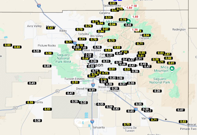
ALERT network rainfall (above and below) for 24-hours ending at 7:00 am. Note the many amounts over half an inch, with several spots exceeding an inch. Here at the house there was 0.33", which included a crash of thunder and sudden brief downpour a bit after 5:00 pm. This was the highest dailey amount since the 0.36" we had on August 8th.The GEFS plumes and various models had all been very consistent forecasting the Sunday rain event during past few days.


Friday, November 01, 2024

End of October


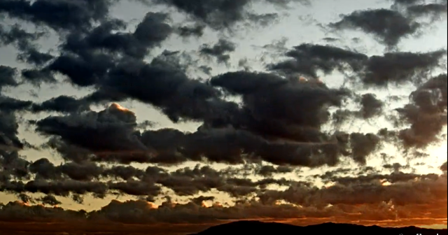
Vivid colors this morning at 6:30 am MST, looking toward the Rincons.

October has ended with no precipitation here at the house - this was the seventh October since 1999 to have no precipitation, so not an unusual situation.


Morning sounding (above) from TWC shows very dry conditions, with barely a quarter of an inch of PW. Winds aloft are generally south to southwest, with light to moderate speeds.

Plumes from 06 UTC GEFS runs (above) show chances for light precipitation on Sunday, and then again at the end of the period.


Plumes for temperature (above) indicate several chilly days through the first week of November. Plumes for winds (below) show a period of gustiness around mid-week.

Current morning forecast from the NWS for the airport (below) calls for 80 percent POPs on Sunday.