
Last night by midnight there was a huge MCS over northern Sonora and the Borderlands (IR above from midnight - about the time new thunderstorms were developing east of Tucson). This system dissipated quickly during early morning hours, but left behind a significant MCV (Mesoscale Convective Vortex).

The early morning thunderstorms have continued and moved north into the Rim country. Image above is IR from 8:00 am MST. Below is Phoenix radar composite from 6:50 am, while second below is 8:25 am radar from Flagstaff. This has been a very unusual situation,with a nocturnal MCS moving into the Rim area, rather than from it as is usual afternoon situation.


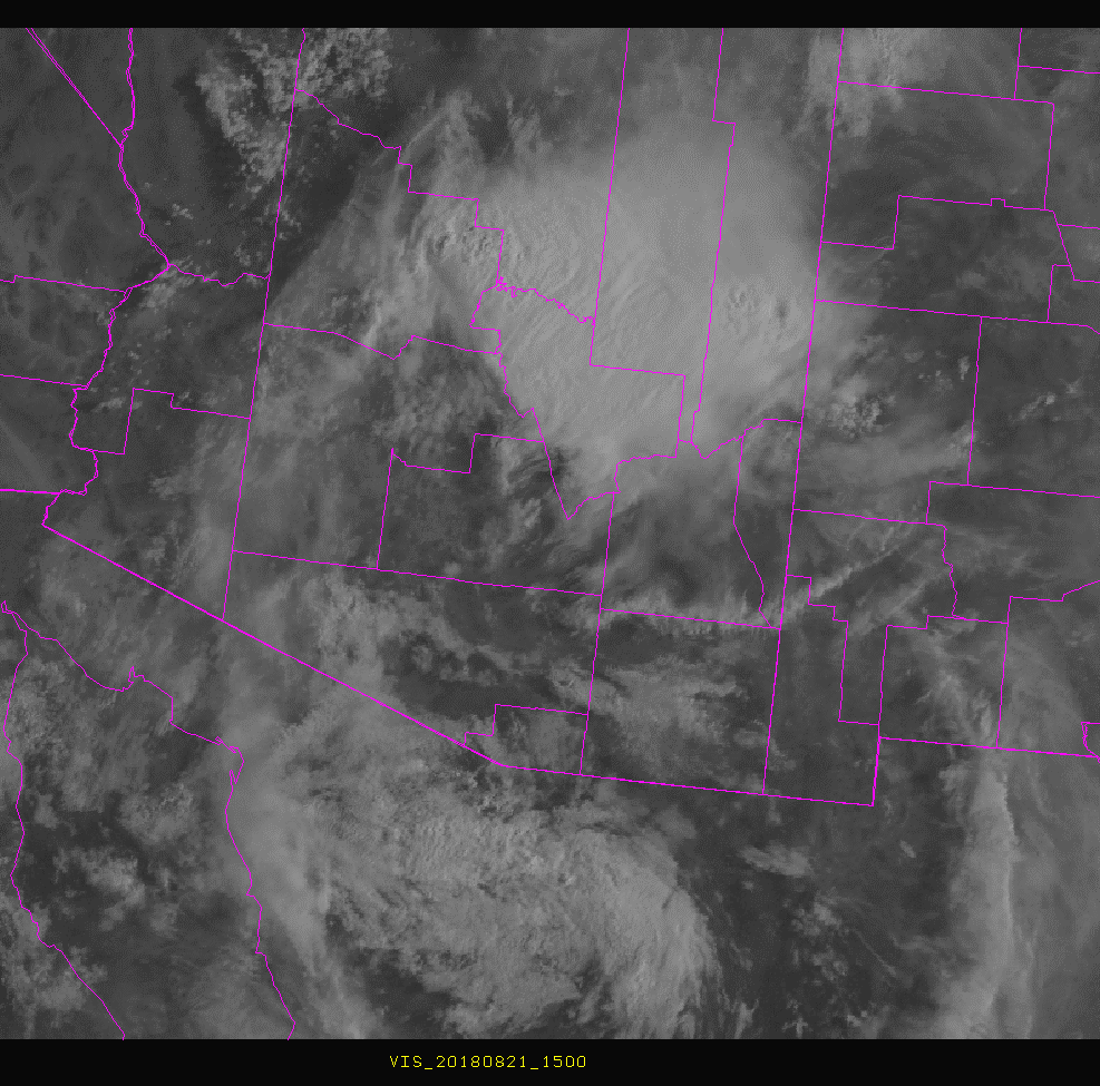
The visible image above (from 8:00 am) shows the current, strange situation with the MCS over the higher terrain of east-central Arizona, partly cloudy skies over Arizona south of the MCS. Further south, over northern Sonora, there are residual showers and cloudiness circulating around the MCV - which is currently south of Nogales and moving northward. This feature will perhaps determine the entire evolution of our afternoon weather here in the metro area.
The skew-T plot for TWC's morning upper-air data (below from SPC) shows that there was little potential CAPE remaining at sunrise. The wind field remains chopped-up in lower levels but is mostly southerly above. Steering level winds are strong south-southeast from 700 to 400 mb and will bring the MCV northward. Two issues for today: can the atmosphere heat and develop better CAPE by afternoon?, and will the small CAPE present near 700 mb support formation of mid-morning showers? Early showers would shut down rest of day after they passed northward.
The situation is therefore extremely complicated, and I'll sit back now and watch to see how it evolves.

No comments:
Post a Comment