
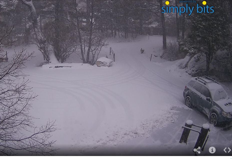
Very thick clouds and light rain at 5:00 pm MST yesterday afternoon - light showers began here at house around 3:30 pm. The two webcam views from the General Store in Summerhaven below are from 5:00 pm last evening and at 5:00 am this morning. Looks like around four inches of new snow up there on the mountain.


The ALERT observations this morning from 5:30 am, for past day, indicate this widespread event was a bit wetter than the preceding one this week. There were 7 sites with over half an inch yesterday. Here in the metro the precipitation had generally ended by 11:00 pm, so this event was mostly on the 27th. Little thunderstorm activity with this event - CG flashes were detected in Pima County, but mainly far out at it's west edge.
Here at house we had 0.30"; TUS had 0.32"; DM measured .32": and Atmo recorded 0.24". December now stands at a bit over an inch. The next digging short wave at 500 mb may bring another quick round of showers late on 31st and the first day of 2019. December has certainly been much different than November here.

No comments:
Post a Comment