
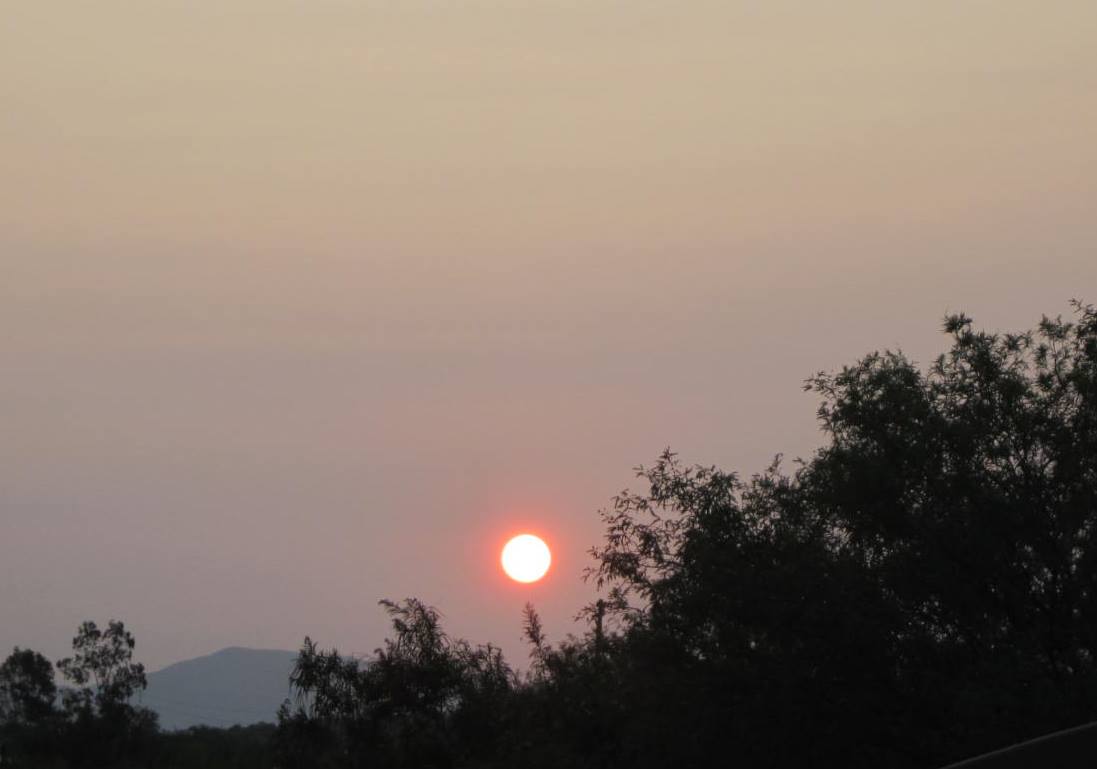
The layer(s) of smoke aloft have gotten a bit thicker today, as a large, 500 mb anticyclone dominates the western U.S. Photos above and below are from just after sunrise this morning. The image at bottom (from Jack Hales webcam wall) is from Mt. Wilson observatory early this morning - view is looking south as the Bobcat fire burns close by.

A look at CG flashes across the US (above from Atmo and Vaisala) for the 12 hours ending at 10:00 pm MST last evening. All-in-all very quiet across the US wrt thunderstorms.

The coming week appears to remain very quiet across the Southwest. Forecast above from the 00 UTC WRF-GFS shows total precipitation forecast (on the 5.4 km grid) for the next seven days ending at 5:00 pm next Friday. The GEFS plumes below show that the sprinkles forecast for southeast Arizona occur at the end of the period. Our dry period here continues into second half of September.


No comments:
Post a Comment