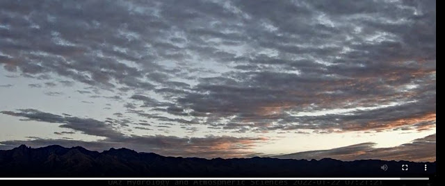
Views at about 7:25 am MST this morning - from campus above and from Sahuarita at bottom.
At 500 mb this morning (analysis above from SPC) there is a closed low over southwestern Arizona, centered near Yuma. This low will move eastward over the weekend, moving nearly over Tucson. However, the system is very starved for moisture - see analysis for total precipitable water at 14 UTC this morning (below). All of the country, with exception of Florida, is very dry with PW values near half an inch or less.
The plumes for precipitation at the airport (above from 06 UTC runs) do indicate light rain for all members late today into tomorrow. The 06 UTC run of the WRF-GFS forecasts only spotty precipitation over southeast Arizona - graphic below shows model forecast of total precipitation through 5:00 am Monday morning. The GFS plumes and the WRF-GFS are again considerably different for the metro area (see posts last Tuesday and Wednesday). Second below is the current forecast from the NWS Office for the airport with POPs at 30 % for tonight and tomorrow. Time will tell.


No comments:
Post a Comment