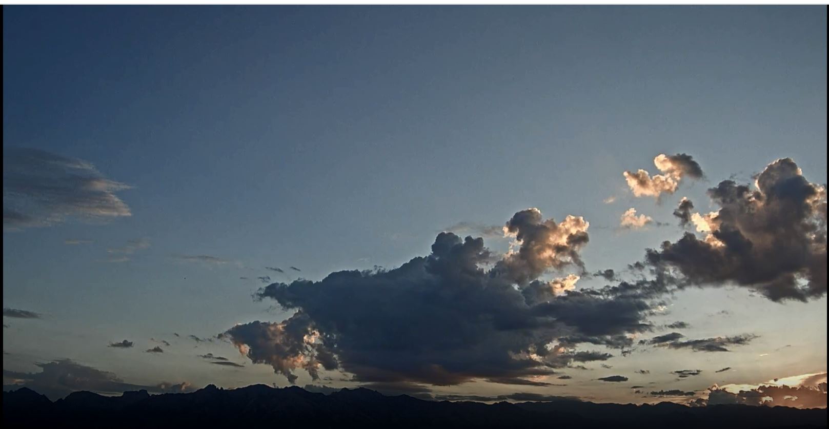
Some cumulus were bubbling over the Catalinas at 5:30 am MST this morning.

Thunderstorms mostly avoided the metro area again yesterday - see plot of detected CG flashes above for 24-hours ending at 1203 UTC this morning (from Atmo and Vaisala).

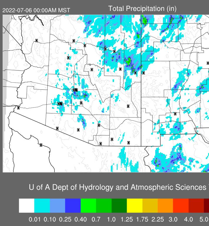
ALERT plots (above and below for 24-hour rainfall ending at 7:00 am) show mostly reports of light amounts northwest and south of the metro area - nothing here except a slight sprinkle in afternoon. Note the lone report of over an inch out near Picture Rocks, as well as a report of 0.75" west of Green Valley.


This morning's TWC/TUS sounding above is very moist and quite unstable - looks promising. But, the 12 UTC WRF-RR forecasts drop the PW to about an inch before noon, and the CAPE vanishes. Plot of 14 UTC TPW (below) shows the drier air to our southeast .

Forecast from today's 12 UTC WRF-RR of precipitation through midnight tonight (above) keeps most of southeastern Arizona suppressed. The 06 UTC GEFS plumes for QPF at the airport (below) indicated early morning showers at the airport - these did not materialize. The rest of week is nearly flat-lined, with little rain indicated through next Monday.

No comments:
Post a Comment