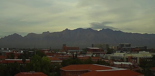
View of the Catalinas from campus at 7:50 am MST this morning shows a gloomy start to the day.
IR image from 7:10 am (above) shows plume of clouds with colder cloud-top temperatures just nudging into southern Arizona. The morning sounding (below from TWC/TUS) indicates deep moisture, with almost an inch of PW, but essentially no CAPE. Most noticable aspect of the upper-air data are the strong winds, greater than 100 kts, above 400 mb.
Forecast of total precipitation (above - from the 12 UTC WRF-RR run) indicates widespread, but mostly light precipitation across most of southern Arizona through 6 am tomorrow.
Graphic above (from the NWS Forecast Office) shows POPS for measurable precipitation through 11 pm tonight - value for the airport is 38 percent. Current forecast for the airport (below) indicates highest POPS during the day on Saturday. Still waiting for first November rain here at the house.


No comments:
Post a Comment