
Large tornado west of Dodge City, Kansas, yesterday afternoon. There were many tornadoes observed during the afternoon and evening, with multiple tornadoes observed at some times. There are many many photos and videos on the internet, indicating a severe convergence of storm chasers into the region.
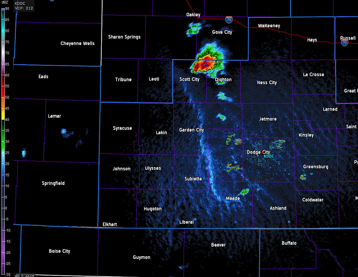
The images shown here are mostly from Jack Diebolt, who uses private sector analysis software (GRAnalyst) to plot/analyze radar and other data in near real-time. The image above shows the small storm near Meade at 2127 UTC (4:27 pm CDT) that will develop into the supercell that moves north toward Dodge City. The supercell near Scott City was also producing tornadoes. There are a number of boundaries at low-levels interacting with the storms. One of these was the dryline but others were from prior or ongoing convection. The visible satellite image below is from about 2130 and also has plots of surface dewpoints. Much more dense surface observations would be needed to sort out the boundaries and their character.


These two reflectivity images are only 13 minutes apart - top is from 2255 and bottom is from 2308 UTC - the magenta line outlines the tornado warning issued from NWS DDC and blue line is apparently old severe thunderstorm warning that is being superseded.
The image above shows the low-level mesocyclone (with a tornado) spinning and interacting with two boundaries. The 1st tilt radar beam is apparently scanning below the precipitation free, updraft base, so that there is only weak echo present. However, by the time of the image below a hook echo is present with a very distinct tornado debris-ball echo associated with the tornado.


The final two images here are from 2322 (above) and 0002 UTC (below, from NWS DDC). The supercell was apparently a left-mover and that allowed the tornadoes to skirt past Dodge City to the west. The larger view image below continues to indicate complex interactions between a number of boundaries and supercell thunderstorms. Certainly an interesting and very complicated event.

No comments:
Post a Comment