
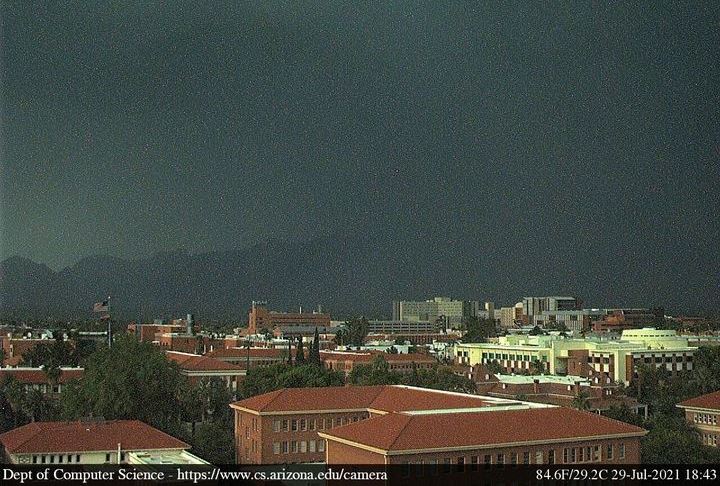
Nice colors on clouds at sunrise this morning. View of campus before sunset (below), highlighted by heavy storm moving into the metro area.

Plot of detected CG flashes (above - from Atmo and Vaisala) for 24 hours ending after midnight last night - note focus over eastern Pima County, with holes to southeast and northwest.
Rain was widespread across ALERT network (below) for 24 hours ending at 8:00 am MST this morning. There are 12 sites with over half an inch and five of those exceeded an inch. Here at house we had 0.21". The Rillito was running again this morning - was a good week for the sand trout.


This morning's sounding (above) for TUS/TWC is, again, not very exciting, and would have little chance of convecting, especially after yesterday's event.

However, there is a distinct 300 mb short wave (above) approaching from northeast Sonora. This feature is forecast to extend from western Arizona eastward to the Big Bend by midnight (below). So, this short wave may help storms to develop later today.

No comments:
Post a Comment