
Heavy clouds with yesterday morning's rains have given way to sunny skies this morning.
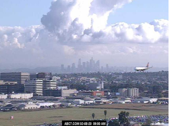
View down at bottom (from Jack Hales yesterday) shows plane on final approach at LAX with Los Angeles in background.


There was a strong southeast to northwest gradient across ALERT network (above) for yesterday's rain amounts. We were on the very edge here, with only 0.04 inches. However, MesoWest reports (below) show very heavy amounts across Cochise County (many sites set daily or March records).


At 500 mb this morning, Pacific closed low remains west of southern California. During coming week the low is forecast to shift toward northern Baja and then consolidate slowly northward (as per 00 UTC GFS forecast below that is valid at 5:00 pm MST next Sunday afternoon).


The meandering low and trough to our west bring a very wet week for us (at least in the forecasts). Above and below are this morning's NWS forecasts for chances of rain this week. Second below shows the 00 UTC WRF-GFS forecast from Atmo for rainfall totals through 5:00 pm MST next Sunday afternoon. If those amounts verify, it would be the wettest week here at the house in a very long time.


No comments:
Post a Comment