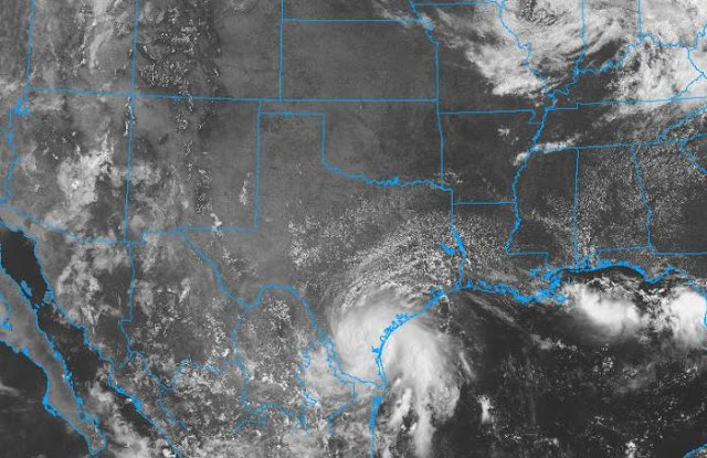
Visible satellite image from 1640 UTC (9:40 am MST) this morning. Note the almost tropical storm ashore over south Texas. This is the system that could impact our weather by mid-week (see previous post).
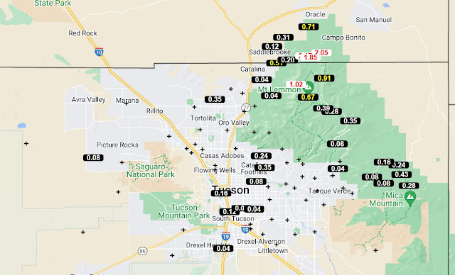
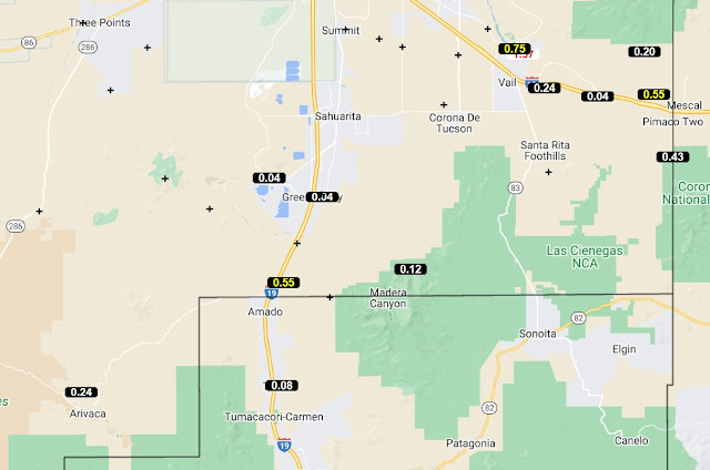
I forgot to cover yesterday's rainfall in the previous post. ALERT amounts shown here are for 24-hours ending at 9:00 am this morning. There were 12 sites with over half an inch of rain - particularly on north part of the Catalinas.
Here at the house we had thunder and gusts to 25 or 30 mph, but only 0.02"; Atmo reported thunder with gusts to 47 mph and 0.55"; DM and the airport had thunder, wind gusts 29 to 37 mph, but only Traces of rain.


No comments:
Post a Comment