
Yesterday there were few storms around, pretty much as models had predicted. Only 4 stations in the ALERT network had rainfall during 24-hours ending at 6:00 am MST this morning. The storm shown above in the 6:00 pm web cam view from campus produced the rain at three of those sites over on the north side of the Catalinas. Pig Spring had 0.71' of rain during the 45 minutes following this web cam photo, but the storm was just an orphan anvil by the 7:00 pm image.
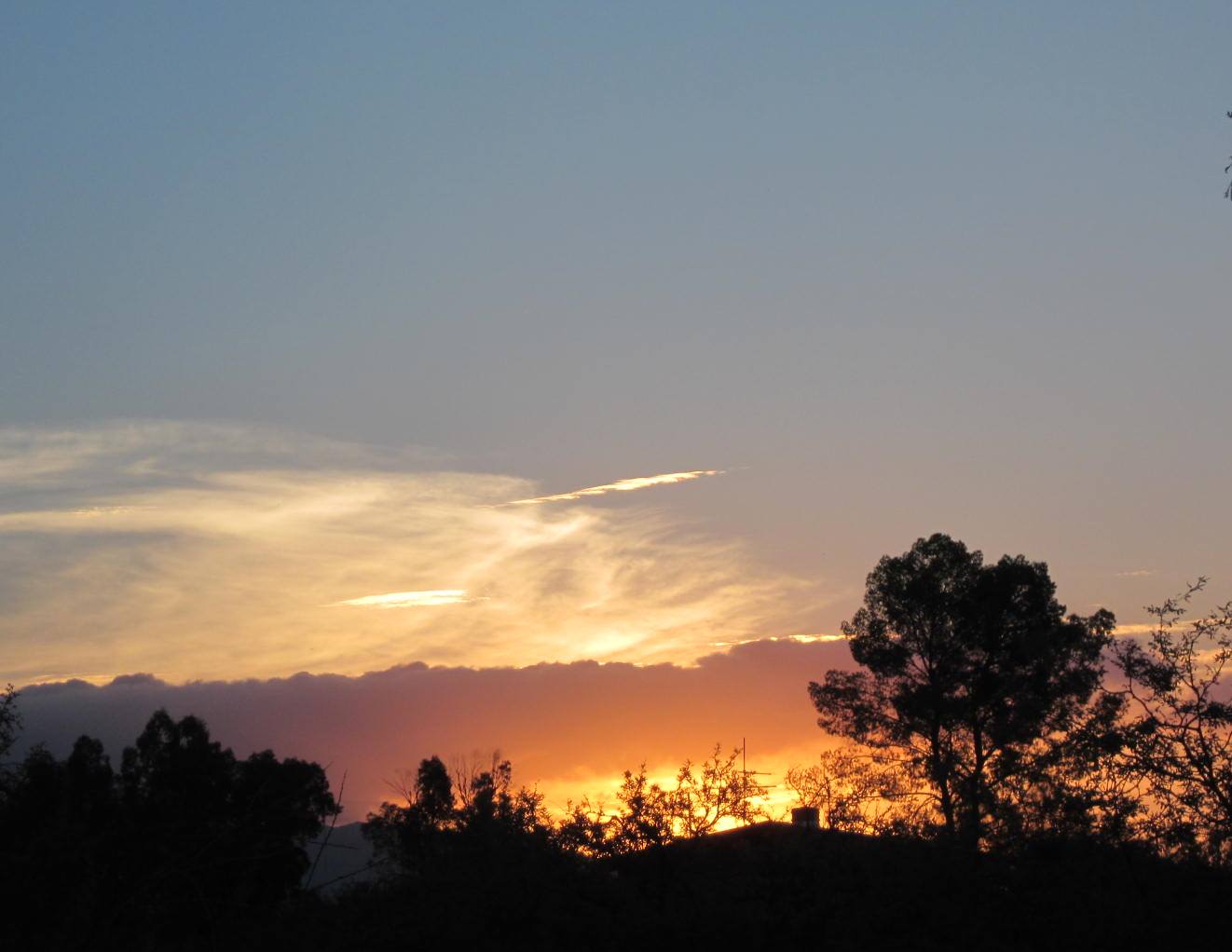
Photo below is of this morning's sunrise and the distant anvil is from the storm mentioned in previous post.

Plot of detected CG flashes (above from Vaisala and Atmo for 24-hours ending at 1:00 am MST this morning) indicates most storms yesterday were small, on the mountains, and nearly stationary - the exceptions being over in parts of Cochise County.
I took a look at the 06 UTC run of the WRF-NAM model and found that this version actually forecast the isolated, strong storm south of San Carlos quite well, both in time and space - forecast of composite radar below was valid at 4:00 am MST. Actual storm was more intense and persisted longer than the model forecast, but I was quite surprised to see it there in the forecast.

Finally, this morning's sounding remains similar to that of yesterday - poor winds, but moist with large CAPE. The WRF-NAM forecast however, begins to move storms toward the west by late afternoon and into parts of the metro area. The model forecasts a direct hit at the airport later in the day that produces local heavy rains. So, we'll see if storms begin behaving a bit different late in the day - would be nice.

No comments:
Post a Comment