
Pre-sunrise view of the Rincons, a bit before 5:00 am MST, showing mostly clear skies.

The possible TS mentioned in previous post has developed and moved near the southern end of Baja a bit more quickly than I had thought it would. Image above shows TS Eugene a bit west-southwest of the southern end of Baja. The storm has trigerred a push of low-level moisture north up the GoC, as anticipated. Current NHC morning forecast from NHC (below) moves the storm away from Baja and indicates it may become a short-lived hurricane.

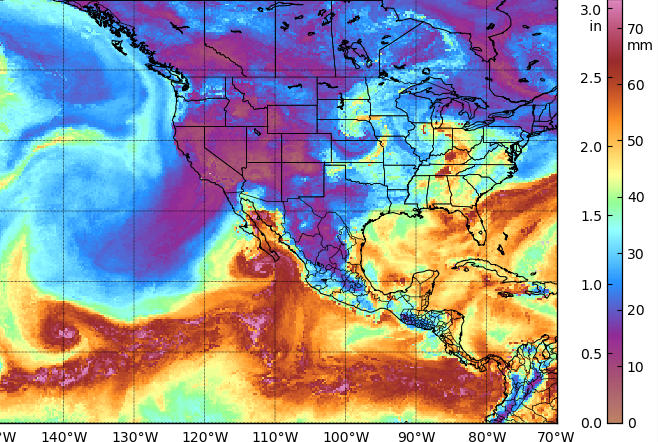
The analsis of TPW (above for 15 UTC this morning) shows very high values approaching the north end of the GoC. The dewpoint at Yuma has already reached 78 F after a strong increase between 4:00 and 6:00 am today.

The morning 500 mb analysis (above) seems to be a bit off. It appears to me that there is likely an anticyclone center near northern Baja, in addition to the main center over southeastern New Mexico. Note thet the Tucson morning sounding failed a bit above 500 mb - the 500 mb observation, however, showed a very warm temperature of only minus 2 C.

Regardless, it will an interesting few days, as we head into the first full week of August.

No comments:
Post a Comment