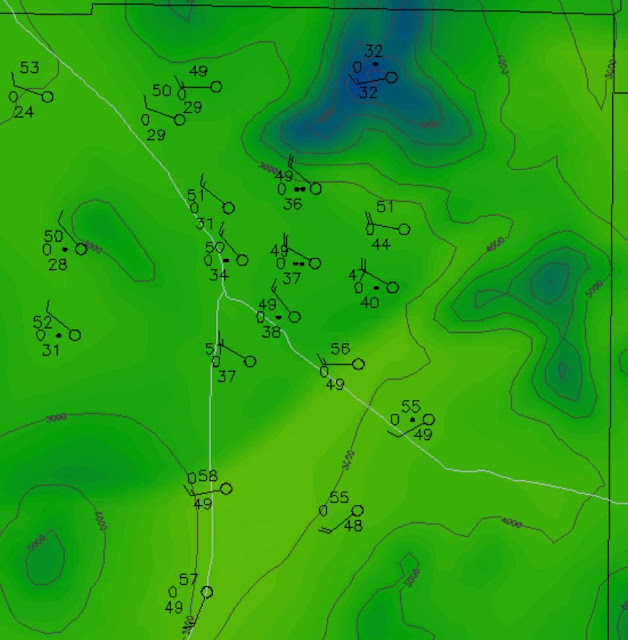
Models continue to forecast a good chance for a light precipitation event next Friday night. Current forecast of POPs for the airport are at 70 %. I've taken a quick look at the 06 UTC WRF-GFS forecasts and show a few forecast panels here.
Above is forecast surface plot valid at 3:00 am MST early Saturday morning. The Pacific cold front has justed moved through the Tucson metro area at that time, with some light rain showers along and trailing the front. The forecast skewT below is for the airport valid at 2:00 am and indicates a good thermodynamic profile for low-top showers.
The model's forecast for total precipitation (above) through 11:00 am on Saturday the 17th is not very impressive except on the Sky Islands.
The 10-m wind forecast (below) indicates strong winds at 6:00 pm on Thursday. Hard to see the details, bit it appears that strongest winds are being forecast mostly at high elevations. The model indicates very strong winds for the Guadalupe Mountain areas of the Big Bend and southeast New Mexico. There also seem to be some interesting wave structures downwind of high terrain - for example, northeast of the Rim, over southwestern New Mexico, and over the northern GoC.


No comments:
Post a Comment