
The unstable air mass yesterday led to storms developing over higher elevations quite early in day. Photo above shows updraft bases lined up along the Baboquivari Mountains at about 11 am. Photo below from campus shows storm over the western Catalinas about 2 pm MST. This storm tried to build southward over north part of metro but didn't persist. It produced one very loud crash of thunder here, but no rain at all. Most of the day the bad wind profile moved thick anvils over lower elevation areas and little else.

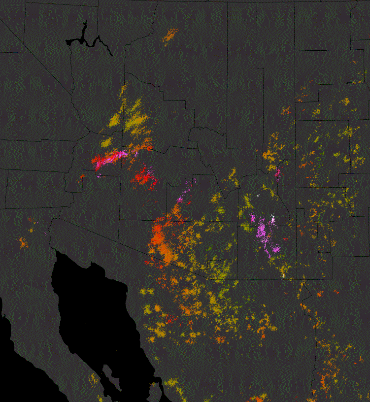
Plot of CG flashes through 1 am this morning indicates heaviest thunderstorm activity in Pima County was out west of Tucson metro - note the common doughnut hole over metro Tucson. The metro/west sector of the ALERT network shows no rain for past 24-hours, except out in the Tucson Mountains. Only 31 of 92 ALERT stations measured rainfall during past 24-hours. There were 9 sites with more than half an inch and 1 with over an inch.


This morning's TWC sounding (above) is cooler in low levels and, although PW remains high, has considerably less CAPE than did yesterday morning's sounding. Both versions of the early WRF from Atmo forecast afternoon storms across most of southeast Arizona again today. Total rainfall forecast through midnight by WRF-NAM is shown below - note that better rain amounts again hug the higher terrain. The GFS version is considerably wetter than NAM version over the mountains. Note that the wind profile again favors anvil clouds over lower elevation regions. There will probably be more sunshine and better heating today before storms develop, so for low elevations it's a bit of a coin toss today.

No comments:
Post a Comment