Last week I had posted on the long-range GFS and ECMWF forecasts for today. The 144-hour hour ECMWF 500 mb forecast valid at 12 UTC this morning is shown above. The verifying analysis from the ECMWF is shown below. The ECMWF was clearly the winner at 144-hours. However, both global models were erratic with this system and at times forecast a much more significant 500 mb short wave into the Southwest. The models are again forecasting a significant short wave into the Southwest at 5 to 6 days. The GFS has rainfall in southeast Arizona, at the end of the week, forecast by all members of its ensemble - such forecasts usually verify well. We'll watch the models during next couple of days to see how they evolve with respect to weather actually impacting this area.
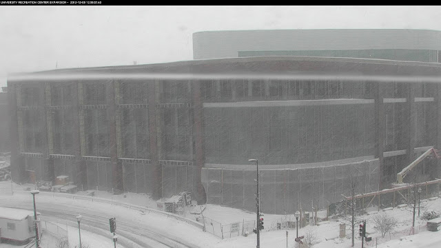
Meanwhile, the system far to our northeast has produced a nice, and much needed, snowstorm for the western Great Lakes states. Below is at noon today from a web cam on the University of Minnesota campus.


No comments:
Post a Comment