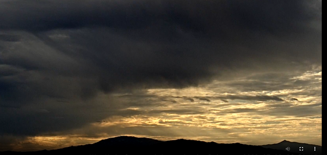
Chaotic skies in this 7:00 am look toward the Rincons.
Some thunderstorms across the metro area yesterday - as per plot of detected CG flashes (from Atmo and Vaisala) for 24 hours ending about 1:00 am MST this morning. There was considerable thunder here lat afternoon, but with only a light shower of 0.05" and a brief east wind around 40 mph. Airport had a Trace with gusts 43 mph; Atmo had a Trace with gusts to 37 mph; and DM had 0.36" with thunder and gust to 49 mph. The Safford ASOS measured a severe gust to 61 mph, as did a Clifton mesonet station.
The plot below (from MesoWest for 24 hours ending at 7:00 am) shows scattered reports of light rain amounts across the metro area, with DM reporting far and away the highest amount.The 500 analysis this morning (above from SPC) shows the center of the large anticyclone has shifted to northwest Arizona, with light easterly winds alomg the Border Lands. The TWC/TUS 12 UTC sounding (below) continues to show a deep BL, with only slight CAPE in the moist air above.


No comments:
Post a Comment