
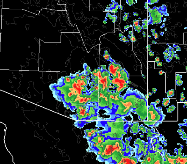
There were thunderstorms in the metro area after dark last night and a core to the west managed to give us 0.06" here at house. The plot of 24-h CG flash density above (from weather.graphics and Vaisala) shows heaviest storm activity was in Cochise County. The greatest rain amount I found for past 24-h was 1.8 inches at Douglas. Across the ALERT network only 17 sites had rainfall and all amounts were less than a quarter of an inch and most less than a tenth. The airport picked up 0.25 inch from a storm, while DM had only a Trace.
The tropical storms in the hyper-active eastern Pacific have kept high PW pushed nicely northward into the Southwest. The 12 UTC blended PW analysis, below from CIRA at Colorado State, indicates amounts reaching around 2 inches (yellows) in southwestern Arizona.


The TWC sounding (skewT above) for 12 UTC is quite similar to yesterday's, with the morning wind profile remaining quite chopped up. The PW is up a bit at just over 1.5 inches. The WRF-GFS forecast sounding for TWC valid at 3:00 pm MST this afternoon (below) indicates south-southeasterly winds through steering levels and above but with steering speeds quite light - not a good profile for organized storms. The PW remains around 1.5 inches and the analysis routine indicates 1257 J/Kg of CAPE. This value is about 40% too high, but there remains a deep layer of CAPE in the forecast environment. So, perhaps a bit of an uptick later today.

The WRF-GFS from 06 UTC forecasts heavy storms (radar above valid at 4:00 pm MST) in parts of eastern Pima County and the metro area - model forecasts a direct hit at TUS with over an inch of rainfall. However, the WRF-NAM forecasts much less storm activity. I included the GFS plumes for QPF from the 06 UTC runs below - 100% of the ensemble members forecast measurable rain at the airport this evening. However, I have not found the plumes nearly as useful for summer convection as they are for cool season precipitation. I have also learned that the operational GFS (blue) is not a member of the ensemble and that its physics are somewhat different than the ensemble members - so it is shown in the EMC graphic product mostly for comparison.

No comments:
Post a Comment