Flash density for CGs (from weather.graphics and Vaisala) for 24-hours ending 6:00 am MST this morning. Activity over Sonora was very much diminished yesterday, probably due to drying from the east. There were some short-lived thunderstorms in Pima and Pinal Counties late in the afternoon yesterday. Two stations in the southwest corner of the ALERT network had 0.04 and 0.16 " of rainfall and Sasabe RAWS had 0.22". The storms brought a cool outflow to Sasabe, where the temperature dropped 27 F between 3:00 and 5:00 pm.
Two views here at 5:00 pm. Top shows view north across the Catalinas, while view below is from here looking toward the southwest. Second below is nearly concurrent radar from NCAR (regional blend of base-scan data).
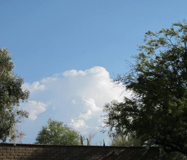
View from campus looking north at 7:00 pm - quite rapid development in the two hours since similar image above. NCAR radar from the same time (below) indicates the thunderstorms above are in Pinal County over the mountains east of Florence. They did bring thunder to Casa Grande later in the evening but only a Trace of rainfall.
The evening sounding plot for TWC is at bottom - the SPC analysis indicates a bit of CAPE in the near surface layer, but a huge amount of lift would have been needed to release that CAPE. Obviously, a deeper and well-mixed BL was nearby to the south. Most of the thermal boundary layer below 600 mb was not well-mixed in moisture - this type of profile indicates dry air aloft mixing downward into the BL. Indeed the PW was down by almost a quarter of an inch. Close but no cigar.


No comments:
Post a Comment