Tuesday, October 25, 2022

Cool Morning


Clear skies here on the coolest morning of the Fall so far.

Low here at house was 36 F, versus 42-43 F at Atmo, TUS, and DM.

The morning sounding at TWC/TUS (above) is notable for the very low PW value of 0.25".

Low temperatures this morning (above, from MesoWest at Univ. of Utah) ranged from middle 30s to middle 40s F across the metro region.

The 06 UTC GEFS plumes for temperature (above) indicate a quick return to warm temperatures this week. The plumes for PW (below) indicate average values near or below half an inch through the period - a mild and dry week to end October.

Monday, October 24, 2022

Nighttime Showers


Early view of the Catalinas at 6:00 am this morning, with mostly clear skies after last night's showers.


ALERT plots above are for 24-hours ending at 7:30 am MST this morning. Amounts of 0.04", or more, were fairly widespread - coverage considerably more than yesterday's WRF forecast (see previous post). Graphic below (from MesoWest, Univ. of Utah) shows coverage of amounts of a Trace or more. Here at house we had 0.06" just before midnight. The airport reported only a Trace; DM had 0.02"; and Atmo reported 0.04". Amounts were mostly light except on north side of Catalinas.


The rest of October is currently forecast to be mostly fair and mild (see this morning's NWS web page), but with some chilly low temperatures tomorrow morning. Plots here show 06 UTC GEFS for QPF at the airport (above), and total precipitation, from the 06 UTC GFS, through noon on Halloween.

Sunday, October 23, 2022

Quick Update


Pre-sunrise view looking toward the Rincons at 6:00 am MST this morning - note the crescent moon upper right.


Graphic above from NWS Forecast Office this morning indicating widespread precipitation for southeast Arizona tonight.

The 12 UTC WRF-RR forecast from Atmo (below) has much less precipitation for eastern Pima County, with early nighttime rain mostly south of the metro area. We'll wait and see.

Saturday, October 22, 2022

Wind Then Showers Possible


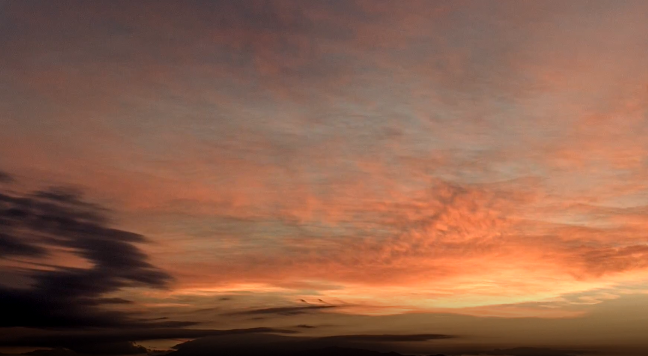
Beautiful sunrise colors over the Rincons at 6:30 am MST this morning.

The forecasts from the WRF model at Atmo this morning have shifted the strong and gusty winds to today, rather than tomorrow (see previous post). Forecast above is from the 12 UTC WRF-RR and is for steady wind speeds at 4:00 pm this afternoon.

The 500 mb analysis is quite interesting this morning (above from SPC). A very strong and cold short-wave trough is digging south across northwest US, while a weaker, closed-low remains west of Baja. The models continue to eject this feature eastward across northern Mexico ahead of the stronger trough. This makes for a tricky forecast situation - assuming the Baja low does move across northern Mexico. Key question would be how much drying would occur as the southern low opens and moves eastward.

The morning sounding (above from SPC) for TWC/TUS has strong southwest winds above 850 mb, as well as some CAPE. The sounding indicates there could be isolated storms/showers across southeastern Arizona this afternoon.

The GEFS plumes shown here are from the 06 UTC runs. The QPF forecasts for the airport (above) are a bit erratic wrt to timing and amounts; however, most agree that rain at airport is most likely tomorrow night into early Monday. Forecast temperatures (below) take a dive tomorrow and Monday with temperatures about 10 to 15 degrees cooler. This will be a very noticeable change, compared to past week.

The 12 UTC WRF-RR forecast for precipitation amounts through 5:00 am Monday morning (below) indicates showers for most of eastern Pima County. I will look forward to seeing what's in the gauge Monday morning. Current NWS forecast is for a 40% chance of measurable rain at the airport Sunday night.


Finally, looking south, tropical storm Roslyn has intensified rapidly and is now the fourth Cat 4 hurricane in the eastern Pacific this season. Visible image of the storm (above) is from 6:30 am, and current NHC forecast (below) brings the storm ashore in western Mexico, north of Cabo Corrientes as a major hurricane.

Friday, October 21, 2022

Unsettled This Weekend


Last night was the Orionids meteor shower. I scanned the Atmo movies and didn't see much activity - note that the cameras do not look toward Orion this time of year. Above was meteor at 5:40 am MST, looking toward the Rincons.

Statement from NWS Fotecast office this morning (above) highlights the unsettled weather over the next few days - note the mention of snow at highest elevations. The current morning forecast for the airport is shown in the two panels below. Max POPs for airport are 50 % for Sunday night.


Above shows the 06 UTC GFS forecast of the 500 mb level valid at 5:00 pm on Sunday evening. Pattern is complicated, and a bit uncertain, as system digging south kicks out the low off Baja - leaving southern Arizona between the vorticity maxima of the two features.

Forecasts show here are from the 12 UTC run of the WRF-RR at Atmo. Forecast for wind speeds above indicates maximum winds occuring over metro area late Sunday morning the 23rd. Precipitation forecast (below) is for period ending at 5:00 am on Monday morning. Model indicates widespread precipitation across most of Pima County, with several spots in eastern Pima County having amounts near or over an inch. 

Wednesday, October 19, 2022

Another Windy Morning

View of the Catalinas from campus at 6:00 am MST this morning.


It's been another windy morning here, after a windy day yesterday. Estimated gusts here at sunrise were around 30 mph. The airport has recorded gusts to 43 mph at both 4:00 and 6:00 am this morning - considerably stronger than current forecast for gusts to around 30 mph. Forecast above is for steady wind speeds and is valid at 9:00 am - from the 12 UTC WRF-RR run at Atmo.

Plumes shown here from the 06 UTC run of the GEFS ensemble members. The PW average (above) remains low through the period; however, there is considerable variance in the forecasts after Friday. The plumes for QPF (below) indicate chances for showers, but again there is considerable variance in timing and amounts. The operational GFS (shown in blue) is a dry outlier. Time will tell, but there may some more interesting weather Sunday into next week.

Monday, October 17, 2022

Isolated Light Showers Yesterday

View looking toward the Rincons at 6:45 am MST this morning. 

There were isolated light showers around the metro area yesterday morning. Three sites in the ALERT network had amounts of 0.04" to 0.08" along foothills and Redington Pass. Nothing noted here at the house. Of note, the temperature here fell into the upper 40s F around sunrise this morning for first time this Fall. 


Plot of detected CG flashes (above from Atmo and Vaisala, for 24-hours ending at 0133 am this morning) shows that thunderstorm cover was very similar to the WRF forecast for rainfall yesterday - see previous post.
The coming work week looks to be mild and dry, with perhaps a chance for showers by the weekend. Graphic above shows GEFS plumes for QPF at the airport. Image belows shows 06 UTC GFS forevast for rainfall through noon on Monday the 24th. So, a dull outlook for weather watchers.

Sunday, October 16, 2022

Widespread Rains

Nice color with some build-ups looking toward the Rincons at 6:45 am MST this morning.


Thunderstorms were widespread across central Arizona during the 24-hours ending at 7:03 am this morning (plot of detected CG flashes above from Atmo and Vaisala). There were eight reports of severe winds and hail in the Phoenix area yesterday afternoon.


Across the metro Tucson area the coverage of measurable rainfall was nearly 100% - above graphic shows rainfall reports from Mesowest for rain amounts ending at 7:30 am this morning. Here at the house we had only 0.02"; airport had a Trace; DM reported 0,15"; and Atmo had 0.08".


The morning TWC/TUS sounding (above) is a bit weird, but there is some lingering CAPE (not nearly so much as SPC analysis indicates). The 500 mb analysis (below) shows the cyclone centered out west of Tucson.


As the 500 low moves across southern Arizona today there will be a chance for some light showers; however, the WRF forecast runs at Atmo forecast that most rain/showers today will remain well northeast of our area. Graphic below shows 12 UTC WRF-RR forecast of precipitation amounts through midnight tonight.

Friday, October 14, 2022

Weekend Showers?


 Some nice pre-sunrise over the Catalinas at about 6:15 am MST this morning. I have been away for a couple of days, but am back in time to see some weekend showers - I hope.


Very, very quiet across the continental US and northern Mexico yesterday and last night. Plot of detected CG flashes for 24-hours ending at 3:01 am this morning (above, from Atmo and Vaisala) shows only thunderstorm activity was a small cluster west-southwest of Houston.


The morning sounding from TWC/TUS (above) is dry and very stable. However, a weak, closed low at 500 mb is forecast to move from off southern California eastward across southern Arizona during the weekend. The 500 mb forecast below is from the 06 UTC GFS and is valid at 12 UTC on Sunday morning.

Plumes from the 06 UTC GEFS (above for QPF) all indicate precipitation at the airport from the 15th into the morning of the 16th. The current NWS Forecast Office outlook through Sunday (below) reflects the GEFS forecast above. 

However, the 12 UTC WRF-RR forecast of precipitation through 5:00 pm Sunday afternoon (second below) is considerably less optimistic. So a weather watchers' chance to evaluate how the differences play out.