Thursday, April 24, 2025

Dust Devil


Photo of a spectacular dust devil - taken near Casa Grande on Easter Sunday.

Tuesday, April 22, 2025

Today Is Earth Day


Dry Weather Continues


Perfectly clear skies over the Catalinas at 7:15 am MST this morning.


Even though a strong trough at 500 mb crosses Arizona on the 29th, the models currently keep it moisture-starved, with no precipitation. Plumes above are from the 06 UTC runs of the GEFS. Forecast below is from the GFS 06 UTC run, showing no precipitation over Arizona through 06 UTC on May 7th.

Saturday, April 19, 2025

Light Showers


Early am showers over north side of metro at 3:40 am MST this morning.


ALERT observations for 24-hours ending at 7:00 am MST this morning (above) show only a few sites with 0.04" or more. However, observations from MesoWest for same 24-hours (below) indicate considerably more sites with light amounts less than 0.04". Here at house we had 0.01" around 3 to 4 am MST. The GEFS plumes yesterday (see below) were a reasonable forecast for the area.

Friday, April 18, 2025

Strange Forecast


Venus rising over the Rincons before sunrise yesterday morning.


Forecast from 11:00 am MST yesterday (above) seemed a bit strange, calling for blowing dust between 3 and 4 pm - assume that was a typo.


Forecast for maximum wind gusts yesterday (above) went for 33 mph at the airport. Winds were gusty during the afternoon, with the highest gust at airport coming in at 36 mph. However, there were no restrictions to visiblity at the airport.

Current GEFS plumes for QPF for the airport are shown below. All members are forecasting measurable (but very light) amounts. Current NWS forecast calls for only 30 percent POPs at the airport. At bottom is WRF-RR forecast (from 12 UTC today) indicating that precipitation stays north of our area through 5:00 pm tomorrow.


Saturday, April 12, 2025

First 100 Degree Day


View of the Catalinas at 3:00 pm MST yesterday afternoon.

Note that the temperature on campus was reported as 100 F. The airport also reported an offical high of 100 F - this was the earliest in the Spring that the temperature has reached the century mark.

Sunday, April 06, 2025

Few Sprinkles Around


View toward the Catalinas at 3:45 pm MST yesterday afternoon.


 There were a few reports of measurable rain yesterday around the Catalinas (above and below), and east toward Benson. Just a sprinkle here around 4:00 pm - not enough to wet the ground.

Saturday, April 05, 2025

Not Much Of An Event


Looks like Summerhaven got a skiff of snow yesterday.


Precipitation plots through 8:00 am MST (above from MesoWest and below from ALERT network) show only a few sites with measurable rainfall. We had nothing here at the house.


Long-term forecast from 06 UTC GFS (below) forecasts almost nothing for Arizona through early Easter morning.

Friday, April 04, 2025

Chance For Showers


Some build-ups on the Rincons at 8:40 am MST this morning.


The 12 UTC 500 mb analysis (above) shows a large trough along the Colorado River that will move across Arizona today. The morning TWC/TUS sounding (below) indicates a sliver of CAPE, that may increase some as cooler, mid-level temperatures move overhead.


Various precipitation forecasts for today are shown here: above are the GEFS plumes from 06 UTC, indicating nearly 100 percent POPs at the airport; below is the 12 UTC WRF-RR forecast through 6:00 pm this evening showing precipitation across most of eastern Pima County; and at bottom is the current NWS POPs map for this afternoon. No rain here for past three weeks.


Wednesday, April 02, 2025

Dusty Start To April


Blowig dust over the Catalinas at 5:00 pm MST yesterday.

The airport had gusts to 49 mph in the afternoon. Strongest gusts I found in the observations: Safford and Guthrie both had 55 mph, and Winslow reported 51 mph. At one point late in day I-10 was closed both north and also east of Tucson due to crashes and low visibility from the blowing dust.

Tuesday, April 01, 2025

March Summary


A cloudy sunrise (with contrail) to start April.

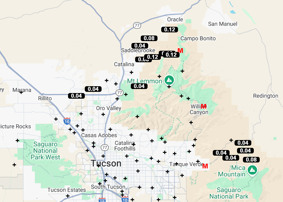
During March there was only measurable rain here on four days - the 7th, 12th, 13th, and 15th - totaling 0.59". The showers actually occured mostly during the nights. This was a fairly typical March, coming in at the 13th driest spot. Forecast models indicate a very dry start for April, as our drought continues.