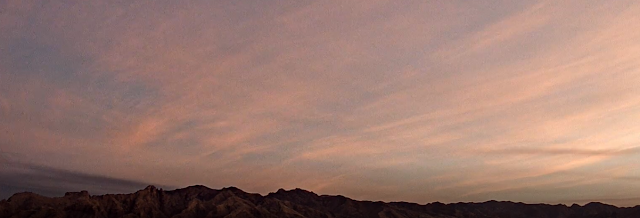
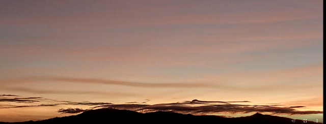
Morning views at 7:00 am MST today of Catalinas top and Rincons down at bottom.
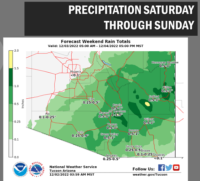
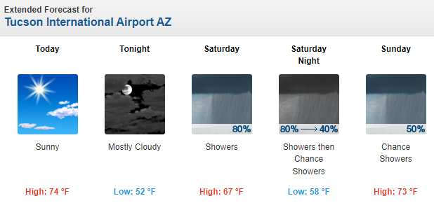
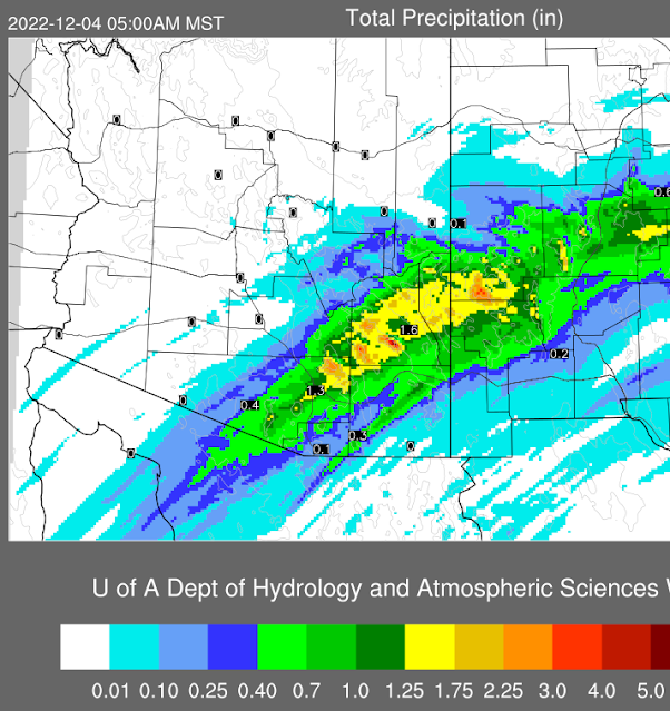
Forecast models and NWS outlooks are indicating a significant rain event for southeast Arizona tomorrow. Weekend outlook from NWS (above) indicates a half to an inch of rain possible for the metro area. The NWS forecast for the airport (below) indicates 80% POPS for tomorrow and tomorrow night. Given our long spell of dryness going back into October, this would be a much needed event.
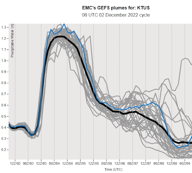
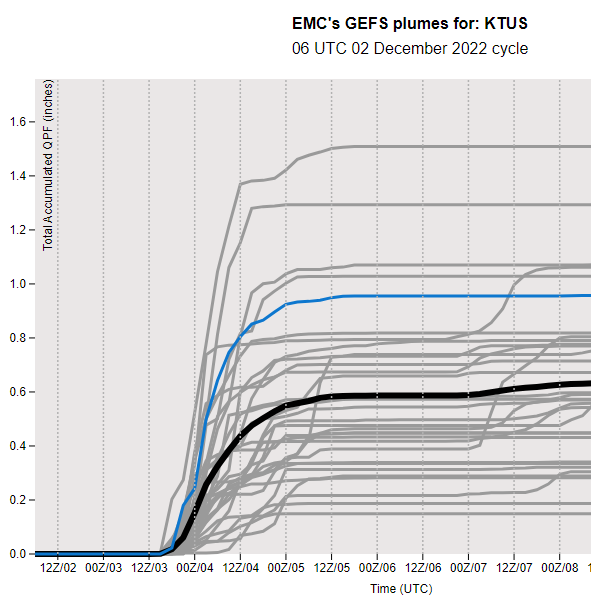
Plumes (from the 06 UTC runs of the GEFS - above) indicate a huge increase in PW beginning tonight that peaks well over an inch tomorrow and Sunday. The plumes for rainfall at the airport (below) average around half an inch, but with some members forecasting much more.
No comments:
Post a Comment