The first is the phone photo from Tumamoc Hill (exact time uncertain - but Ron Holle has provided a listing of all CG flash locations and times for period of interest and I hope to use these to pin down time of the photo). Mike Leuthold has reconstructed the time-lapse film from Atmo and also provided a directory of each individual image. A 0.6 degree (base) scan at KEMX radar began at 0201:22 UTC and the four images below the first are from Atmo at about 0201; 0203; 0204; and 0205 UTC. The UTC times are on the 27th of June and 7:00 pm MST is 0200 UTC.


Finger Rock is visible in the first three images from Atmo and the heavy downburst of precipitation occurs between 0204 and 0205 UTC. The Tumamoc Hill photo was probably taken during that minute.
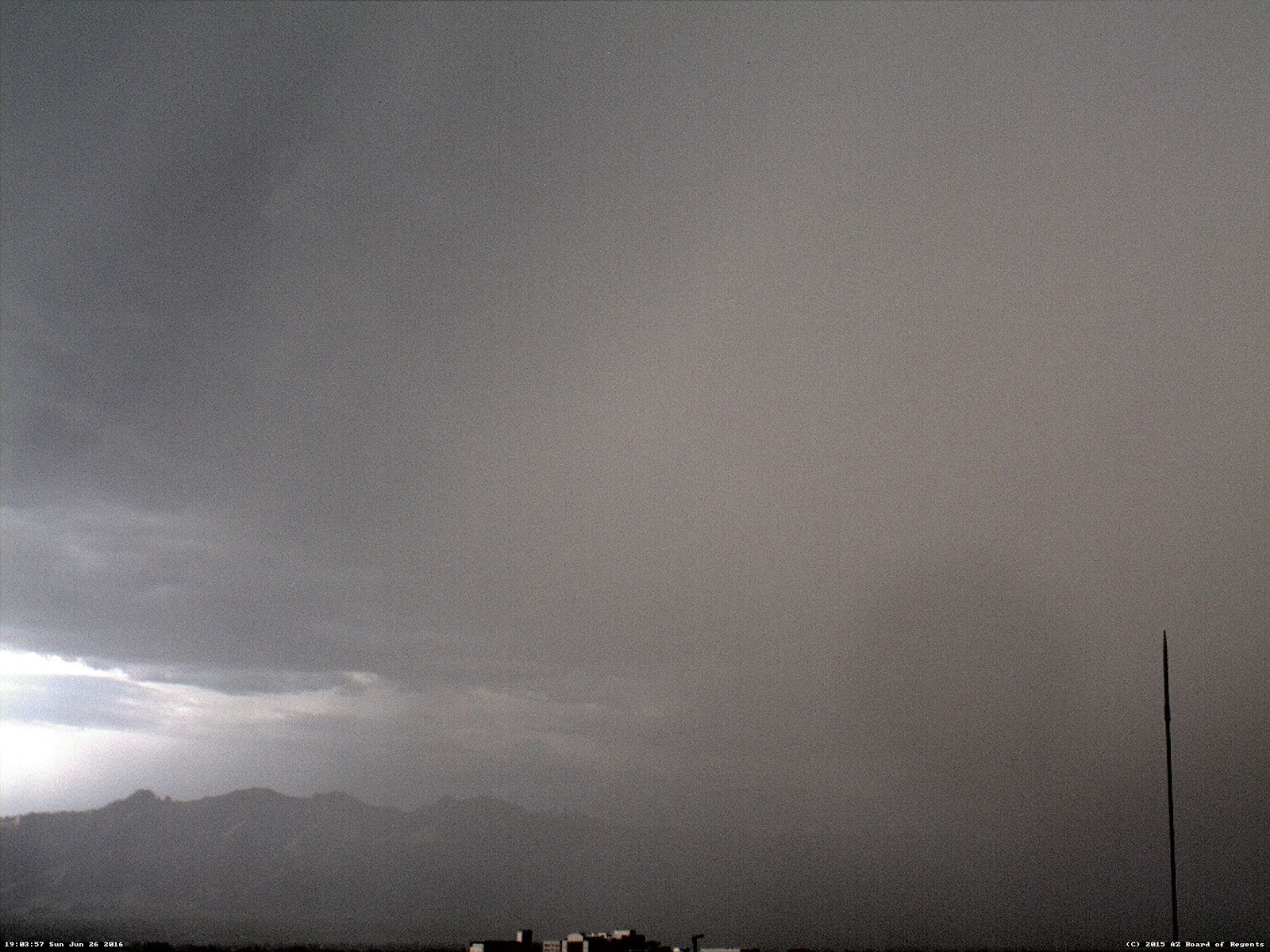
The first streamers of precipitation are visible at 1903 and the severe microburst is occurring by 1905 UTC. The sequence above occurs in less time than it takes the radar to complete a single volume scan. The event evolved extremely rapidly.
No comments:
Post a Comment