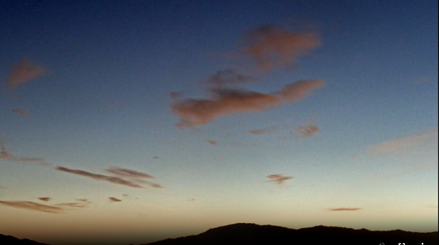
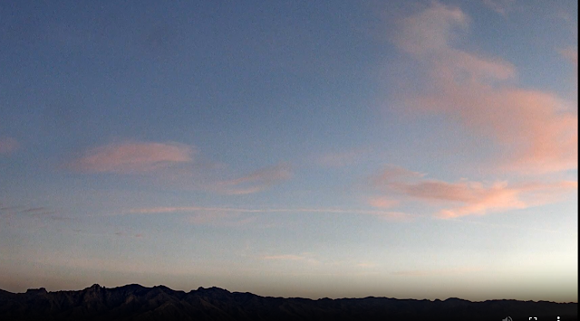
View looking toward the Rincons at 6:30 am MST this morning, showing some subtle pink colors. Shown at bottom is view of Catalinas at 7:05 am, with similar cloud colors.
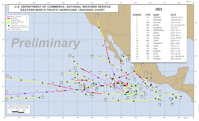
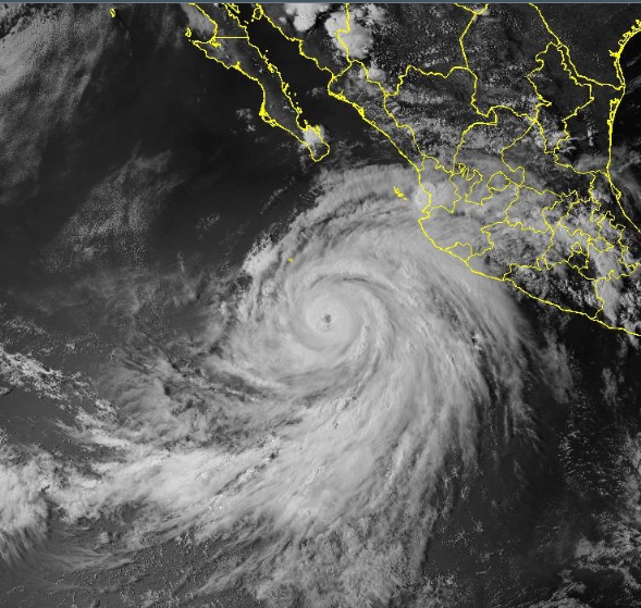
Chart above (from the NHC webpage - where the graphic is easier to view) shows Eastern Pacfic Tropical Storms and Hurricanes that have occurred so far this season. Hilary (shown below in visible image from 2240 UTC on 17 August) was the only storm that came north of 25 degrees north, moving into southern California far to our west. During its life Hilary reached Category 4 strength (130 to 156 mph maximum wind speeds).
Thus, our summer was not very active this year, wrt to tropical events - which helps explain why this was second driest summer here since 1999, when my records begin.


No comments:
Post a Comment