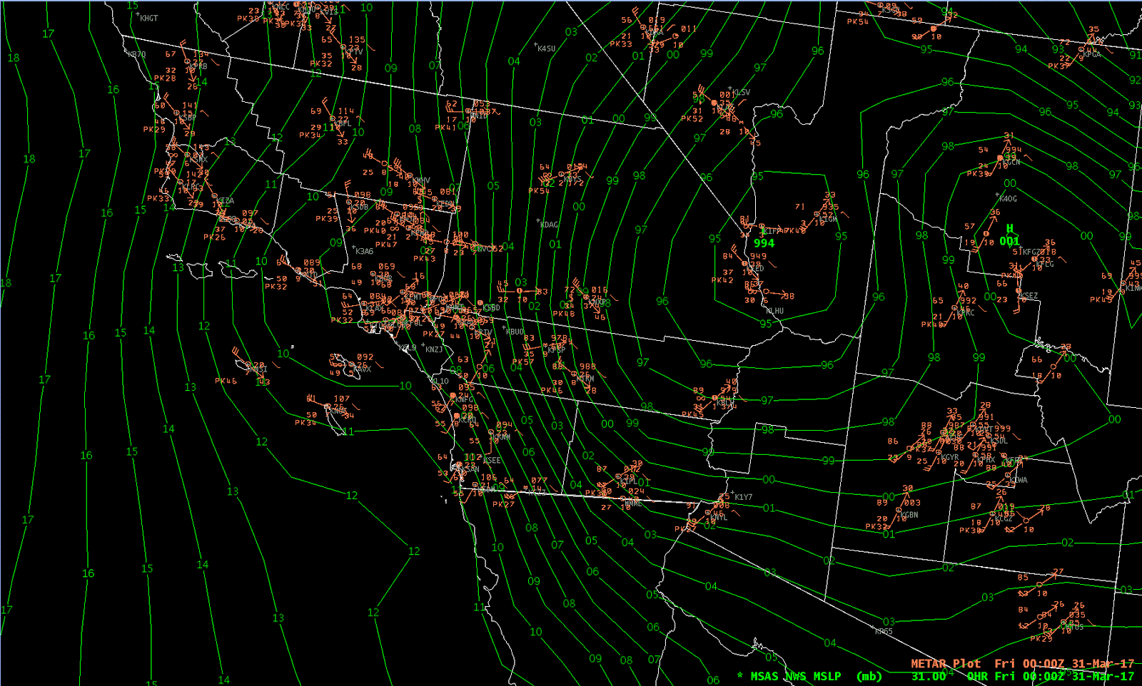
An intense surface low dug into the Southwest yesterday, bringing high winds and dust across much of Southern California, and Arizona. At 05:00 pm MST yesterday (above) the low was centered somewhere near Bullhead City, Arizona. This morning the surface cyclone is centered along the Arizona/Utah border, west of the Four Corners. Winds yesterday gusted in 70 to 80 mph range over parts of the Mojave Desert, before shifting eastward across Arizona during the night. The airport recorded 45 mph around midnight.

View a bit after 06:00 am this morning to the north of Kitt Peak (above) shows dust extending upward to near the bases of the middle cloud layer. There were light sprinkles across the metro area and composite radar below is from just before 07:00 am. View at bottom from campus captures a mix of clouds, dust, and light showers. Here at the house there were dirty sprinkles between 06:30 and 07:00 am.
Wind gusts across Arizona were generally in 30 to 60 mph range. Some of the higher gusts I noted when I scanned the observations this morning include: 80+ mph at the 4-M telescope on Kitt Peak; 72 mph at the Hachita Valley RAWS in southwest corner of New Mexico; Flagstaff 66 mph; Guthrie RAWS 65 mph; and 61 mph at Ft. Huachuca.


No comments:
Post a Comment