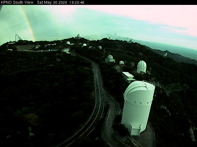
Mammatus overhead about 6:00 pm MST yesterday afternoon (above). View from Kitt Peak south at 6:20 pm (bottom) captured a rainbow just off to the east.
Interesting afternoon yesterday as strongest storms stayed off to west of Metro area, but with thick anvils overspreading the city. Composite radar chart above from 3:39 pm, and detected CGs below for 4 hours ending at 6:00 pm. Light showers from the weak echos just west of airport produced outflows that resulted in gusts to 69 mph at airport and 51 mph at DM AFB. The winds were clearly associated with deep convection, and were thus the first severe thunderstorm event at the airport this year. Unfortunately, the Forecast Office chose not to report the event to SPC
The TWC sounding plot this morning remains similar to past couple of mornings. Yesterdays WRF runs at Atmo forecasted storms over Metro area, and they do so again this morning - perhaps activity will shift a bit eastward today?
Finally current 500 mb analysis (below) shows a closed low (this is a deep feature extending from 700 to 200 mb) over northwestern Mexico, with an inverted trough extending northwestward across the Big Bend. Unfortunately, the models forecast this feature to to weaken and move northward, so it will have little effect on the evolution of local area storms.


No comments:
Post a Comment