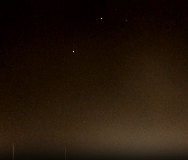
Venus rising in eastern skies this morning about 5:40 am MST.
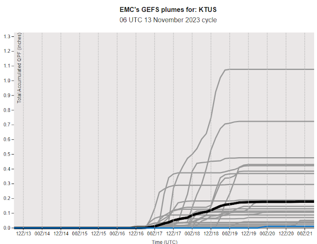
Plumes for QPF at the airport (above from the 06 UTC GEFS runs) indicate chances for showers from the 16th through the 19th later this week (Thursday through Sunday). Range of amounts is quite large, from zero to over an inch. Note that the operational GFS (blue) is nearly flat-lined at zero.
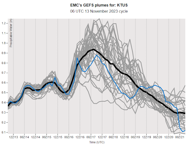
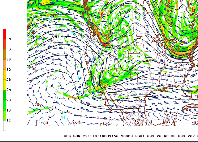
Plumes for PW at the airport peak on Thursday at almost an inch and then decrease sharply throuh Monday the 20th. The 06 UTC GFS 500 mb forecast (below for 18 UTC on Sunday) indicates a sharp trough crossing Arizona. But, in the GFS forecasts this a distinctly moisture-starved short-wave.
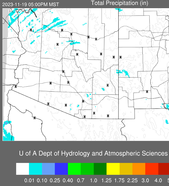
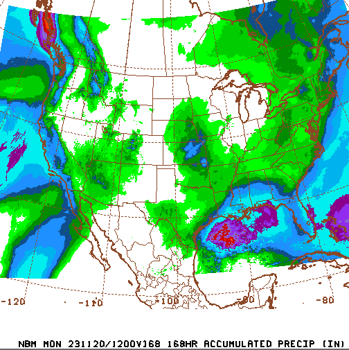
Forecast above (from the 00 UTC GFS run is for total precipitation through 5:00 PM on Sunday afternoon, with most of the state totally dry. However, the NWS National Blend of Models (see blend.mdl.nws.noaa.gov) shown below forecasts considerable precipitation across Arizona (light green indicates 0.10 to 0.25" and each color change increases the amount by 0.25"). So, quite a difference between these two NWS guidance products.
The current morning forecast from the NWS Tucson office indicates 20 percent, or greater, POPs for each forecast period from Wednesday night through Saturday night, with maximum POPs indicated at 60 percent during the day next Saturday. Clearly a wait and watch kind of situation for the coming week.

No comments:
Post a Comment