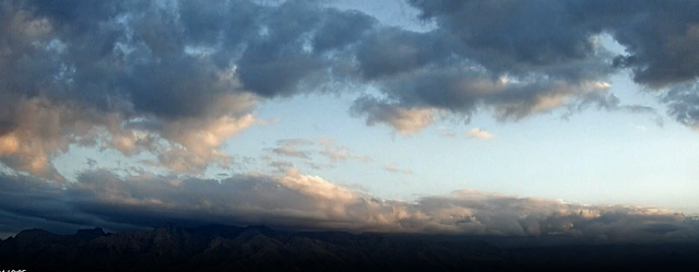
Clouds hanging on the Catalinas at 8:00 am MST this morning.
There has been a bit of light precipitation on the north sides of the Catalinas and Rincons during 24 hours ending at 8:00 am this morning (as per plot above - note that there was also 0.04 down at Elephant Head Butte on the northwest side of the Santa Ritas). Summerhaven webcams show that there was a skiff of snow up there overnight.
The TWC/TUS sounding this morning (above) has essentially no CAPE but is moist in middle levels, with strong, westerly winds above 500 mb. The 500 mb forecast (below from the 06 UTC GFS run and valid at 5:00 pm today) shows last night's shortwave to the east, but with another entering Arizona to the west.
The 12 UTC run of the WRF-RR (above) indicates continued dry conditions for southeastern Arizona, but earlier runs had considerable precipitation across our area - one needs to peruse the various runs to get a better feel for the WRF forecasts for this event. The current NWS forecast (below) calls for high POPs at the airport tonight and tomorrow - NWS also has out alerts for heavy snows at higher elevations - see the NWS webpage for TUS.


No comments:
Post a Comment