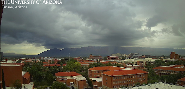
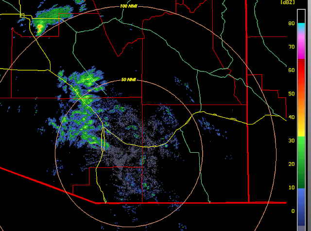
Showers moving in from the west at 8:15 am MST this morning (view above and radar base scan below).
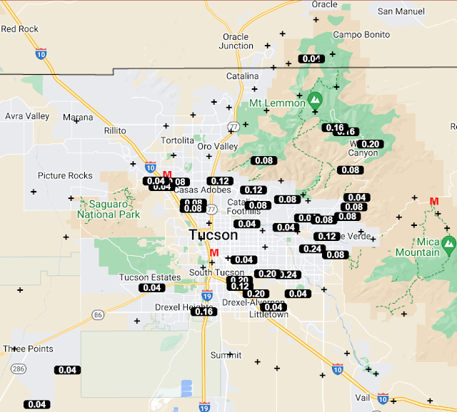
Precipitation for 24-hours ending at 7:30 am (above from ALERT network) was concentrated in a band from south of Three Points northeastward to the Catalinas. Here at house there was 0.06" in the gauge.
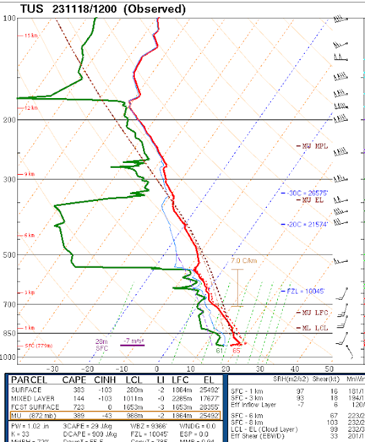
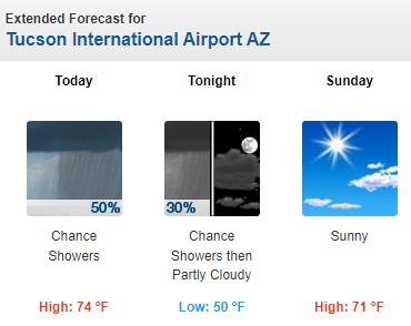
The upper-air sounding from TWC/TUS (above) this morning is very similar to yesterday morning's - PW over an inch, bit of CAPE, and strong winds aloft. Current NWS morning forecast below.
No comments:
Post a Comment