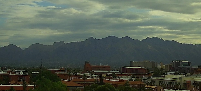
View of Catalinas at 5:00 pm MST yesterday shows heavy clouds over the mountains.
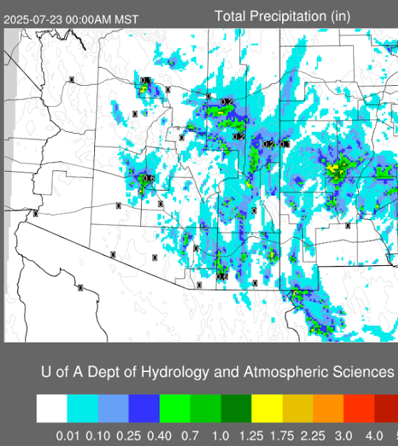
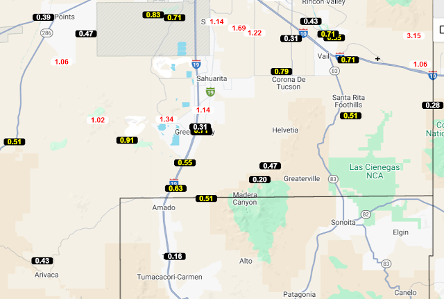
Plot of detected CG flashes through 0733 UTC this early morning (above) indicates only a very few flashes in Arizona. Precipitation reports from the ALERT Network (below) show only 4 reports in and near the Catalinas. It was another rainless day here at the house.
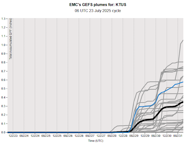
The 06 UTC GEFS plumes for QPF are not promising for the coming week (above). The 12 UTC WRF-RR forecast through the last day of July (below) has only light showers over parts of eastern Pima County, with heaviest rain amounts staying in New Mexico.


