
Dark skies with some showers around yesterday afternoon at 2:00 pm.

MesoWest rainfall reports for 24-hours ending at 7:00 am MST this morning. Amounts were generally light, although 5 sites (2 in Catalinas, 2 in Santa Cruz County, and 1 above had more than an inch). Here at the house we had a light, afternoon shower that left only 0.02" in the gauge. The airport reported 0.38" (and a gust to 47 mph); DM had 0.01"; and Atmo reported 0.03". There were widespread CG flashes detected across most Arizona (plot below shows CG flshes detected through 0803 UTC early this morning).


Plot of Total Precipitable Water (above for 13 UTC this morning) shows that high values had spread across much of Arizona. The remnants of Hurricane Flossie are southwest of Baja.

Plumes from the GEFS runs at 06 UTC (above for QPF and below for temperature - both at airport) show light showers around for much of the coming week. The temperature plumes show a gradual heat-up into the 100s F is on tap as we head deeper into July.
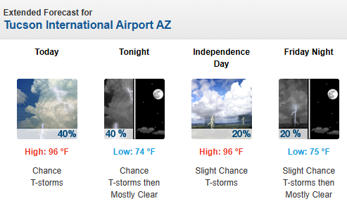
Current NWS forecast for today and Fourth of July is shown at bottom.

No comments:
Post a Comment