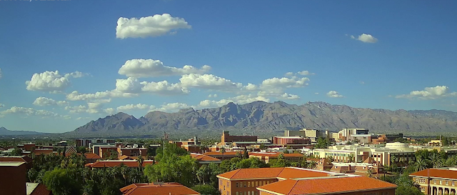
It was very quiet and suppressed yesterday - view above is from 5:00 pm MST on the Fourth.
Detected CG flashes (through 0853 UTC above - from Atmo) remained far to our south along the Borderlands. There was one report of 0.04" on the MesoWest precip site through 8:00 am this morning (below). Report could be valid since there was a decaying, weak radar echo in that area.
Current forevast for rest of weekend from the NWS is above. Note that every forecast period through the coming seven days has POPs of 20 to 40 percent. The rainfall forecast from the 12 UTC WRF-RR run at Atmo (below) keeps the precipitation through 6:00 pm tomorrow mostly south of the main metro area.


No comments:
Post a Comment