
The Tucson morning sounding agrees well with GPS data wrt to PW. There continues to be a dearth of CAPE at low elevations, even though moisture amounts are quite respectable. Seems like we fought warm middle-level temperatures through much of last summer also. The vertical wind profile is so so, with only strong winds at very high levels. Inverted trough at lower levels seems to stay nearly stationary in model forecasts, while the upper-level cyclone is spinning slowly northward over New Mexico. Not much apparent to latch onto. Some mountain storms, and perhaps some over lower elevations, with small scales dominating the chopped up large-scale setting.
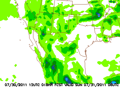
The morning NAM forecast for accumulated precipitation for 12-hours ending at midnight tonight indicates light amounts over all of Arizona. Most significant rain is indicated along south-central Borderlands. Interestingly, the early U of A Atmo WRF-GFS forecast for the same period has rainfall only over the southeast across the entire southern third of state. Amounts are not great and confined to areas east and south of Tucson. So, the two models are quite different again - will one of them be on the money today? We'll wait and watch.
No comments:
Post a Comment