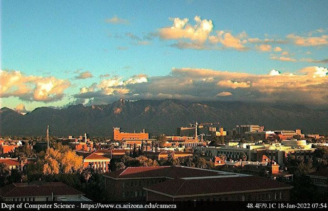
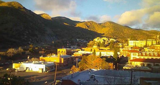
Early morning sunshine illuminating campus above and Bisbee at bottom.
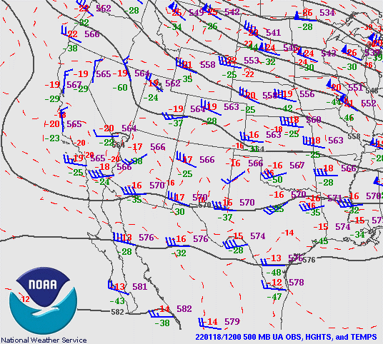
At 500 mb this morning (above), the week short wave mentioned yesterday is now located from northern Utah southwestward across southern California. This feature will move across Arizona during next 24 hours or so, but in a somewhat disorganized way, involving two pieces of the wave.
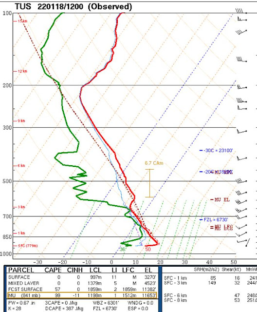
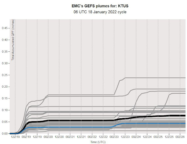
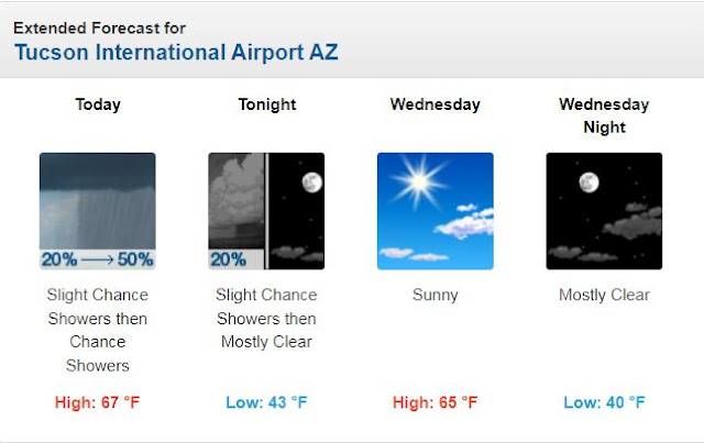
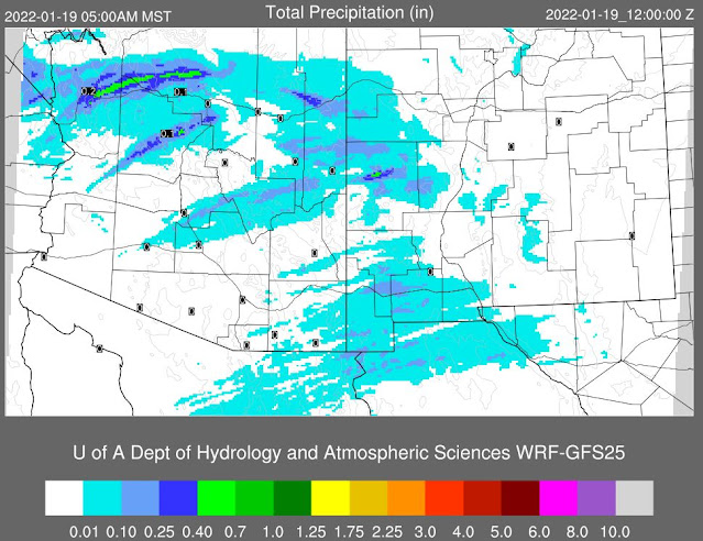
Here are three versions of current forecasts for differing periods. The GEFS plumes for QPF at the airport indicate a 100 percent chance of very light precipitation (above) late today. The morning forecast from NWS (below) indicates a 50% chance late today (below). Finally, the 06 UTC WRF-GFS forecast (second below) basically keeps Pima County dry through 5:00 am MST tomorrow morning. So, whatever happens today and tonight will essentially be covered by one of the forecasts - we'll watch to see what transpires!
No comments:
Post a Comment