View looking toward the Rincons at 5:45 am MST this morning.
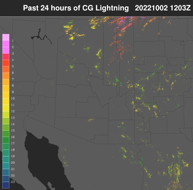
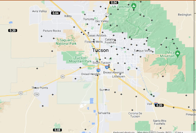
Very few CG lightning flashes yesterday afternoon - plot of detected flashes for 24-hours ending at 5:03 am MST shown above (from Atmo and Vaisala). A storm west of the Catalinas produced CG flashes around dark. Only five ALERT sites reported light rainfall during the 24-hours ending at 6:00 am this morning (below) - all were outside the main metro area.
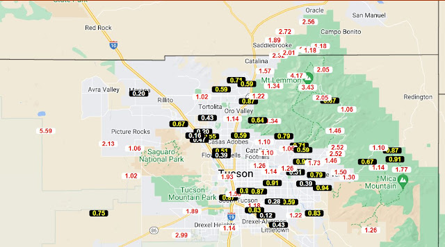
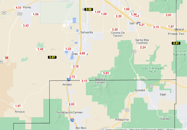
The two ALERT maps shown here are for total September rainfall. Some isolated sites along I-10 had less than half an inch, while several others had over three inches. Here at the house we had 1.43", which is about average for September during past 23 years. Total here at house for June-September was 8.45".
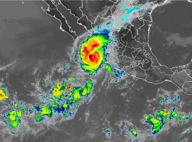
Hurricane Orlene (IR image at 1830 UTC today below) developed off coast of Mexico yesterday and rapidly intensified to a Cat 4 storm (winds of 130 to 156 mph). At the current time the storm is weakening and forecast to make landfall in western Mexico before reaching the GoC.

No comments:
Post a Comment