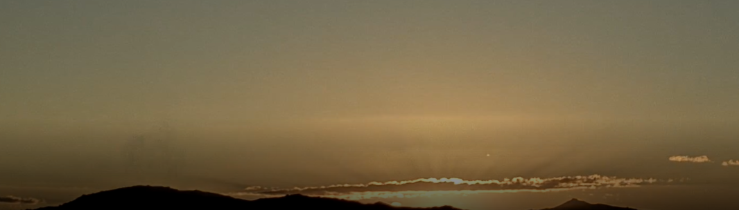
View looking toward the Rincons at 6:45 am MST this morning.
There were isolated light showers around the metro area yesterday morning. Three sites in the ALERT network had amounts of 0.04" to 0.08" along foothills and Redington Pass. Nothing noted here at the house. Of note, the temperature here fell into the upper 40s F around sunrise this morning for first time this Fall.

Plot of detected CG flashes (above from Atmo and Vaisala, for 24-hours ending at 0133 am this morning) shows that thunderstorm cover was very similar to the WRF forecast for rainfall yesterday - see previous post.

The coming work week looks to be mild and dry, with perhaps a chance for showers by the weekend. Graphic above shows GEFS plumes for QPF at the airport. Image belows shows 06 UTC GFS forevast for rainfall through noon on Monday the 24th. So, a dull outlook for weather watchers.

No comments:
Post a Comment