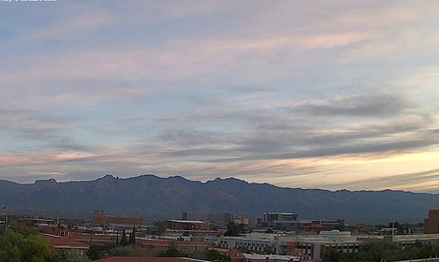
View of Catalinas at 6:30 am this morning shows high, thin cirrus overcast.
Plumes from 06 UTC WRF-GFS are shown here. Forecasts for QPF at airport (above) are consistent showing rain at the airport from Tuesday into Thursday morning - there is a large spread with the operational GFS one of the heavier members. Forests for temperature and wind (below) indicate significant temperature drop on Tuesday followed by slow warming. Forecasts also indicate several windy periods during coming week.
Forecast for coming week (through 5:00 am next Sunday - above) indicates a wet week for most of Arizona - note the very heavy totals across the Rim country. Current forecast from the Tucson NWS Forecast Office is shown below.


No comments:
Post a Comment