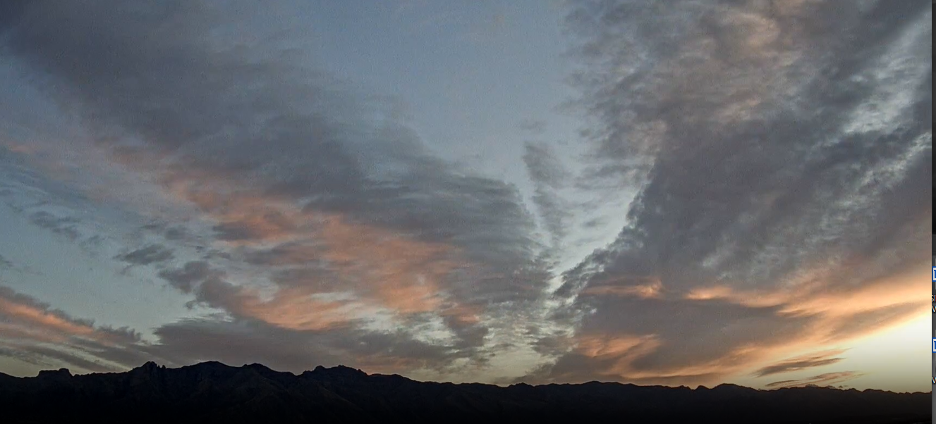
Views of the Catalinas and Rincons (bottom) at about 6:15 am MST this morning, as we have another colorful sunrise.

Forecast for 500 mb (above, from 12 UTC WRF-RR) shows a trough affecting Arizona at 5:00 pm today, as it shears out toward the northeast. This feature will bring cooler temperatures today - highs last two days were 83 F, but NWS forecast for today is only 62 F. Wind advisories are out for southeastern Arizona (below), and current forecast indicates gusts as high 26 mph at the airport this afternoon.


Forecast wind speeds valid at 3:30 pm this afternoon (above from same WRF run) - note the very windy conditions forecast across most of New Mexico. The MIMIC analysis of TPW (below for 12 UTC) shows what a moisture-starved system is impacting us today.


No comments:
Post a Comment