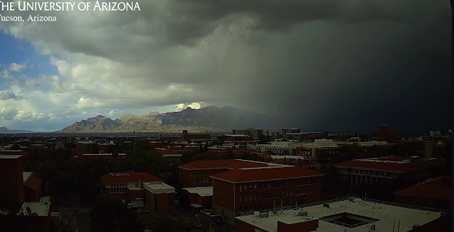
Storm in foothills at 4:50 pm MST yesterday afternoon. This one skipped by to our east, but there were heavy showers later, around 7:00 to 7:30 pm at the house. View at bottom is looking toward Redington Pass at 5:25 am this morning.
GEFS plumes from 06 UTC runs (above) are for precipitation at the airport. Plumes indicate an active, showery period on the 31st of March and 1st of April. The 500 mb forecast (below, from the 06 UTC run of the GFS) indicates a deep, positively-tilted trough over the Southwest at 00 UTC on April second - next Tuesday.


No comments:
Post a Comment