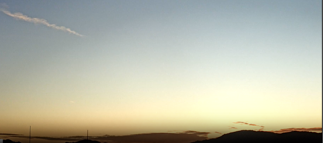
View looking toward Rincons/Redington Pass at 6:55 am MST this morning.
The GEFS plumes for rainfall amounts at airport (from 06 UTC runs - above) indicate showery periods into early next week. Note the wide range of values and timing, so things are a bit uncertain at this time. The plumes from same runs for winds (below) indicate the possibility of some gustiness and stronger speeds for tomorrow and Thursday.
The GFS 500 mb forecast (above from 06 UTC run shows a strong, closed low over Arizona and southern California at 12 UTC on the 15th (Friday).


No comments:
Post a Comment