
Thunderstorms developed yesterday afternoon as PW increased from the south and CAPE developed. The plot of 24-h CG flashes through 12 UTC this morning above shows that storms stayed mostly over higher elevations to the south of Tucson. More showers moved across southeastern Arizona after midnight, producing at least light rains at almost all observing sites. Across the ALERT network 86 of 92 stations measured rainfall - amounts were generally 1/10 to around a 1/4 of an inch. Three sites had over 1/2 an inch and Keystone Peak measured 1.14 inches. The Sasabe RAWS site had 1.27 inches. Amounts were generally heavier over the southwestern sector of the network - see below plot of 24-h amounts ending at 5:00 am MST this morning. here at the house there was 0.12" in the gauge.

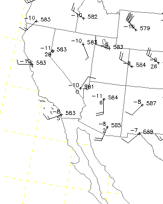
In addition to increasing moisture and CAPE, a fairly distinct 500 mb circulation developed during the afternoon over western Arizona - 00 UTC 500 mb plot below from NCAR RAP. The 00 UTC 500 mb NAM analysis indicated that this circulation and vorticity max was separate from that to the south with Simon. This circulation brought in cooler midlevel air, helping to spark the early development of storms. The rainfall was not predicted by most of the models in the 00 UTC runs nor in the midnight runs - the HRRR model did pick up on the storms in southeast Arizona, but I don't know if this was a response to radar indications or an actual forecast prior to any activity. At this time it is not yet clear whether Simon's remnant circulation at low-levels has crossed Baja.
No comments:
Post a Comment