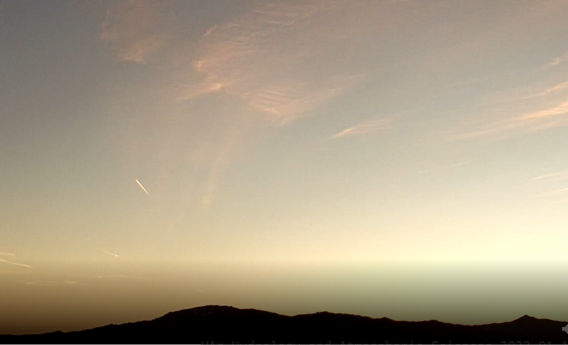
View toward the Rincons at 7:15 am MST this morning, with a bit of a short contrail captured also.


The 500 mb forecast above is from the 06 GFS and is valid at 18 UTC on Tuesday the 17th - a broad trough has settled over the West with a number of embedded shortwaves.
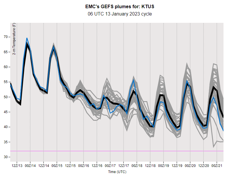
Forecast below is from the 00 UTC WRF-GFS run at Atmo, showing a major precipitation event for Arizona - forecast goes through midnight next Wednesday. Amount at airport (one inch) is similar to the GEFS plumes.

No comments:
Post a Comment