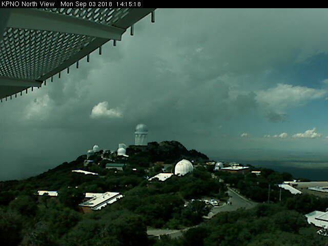
Early afternoon storms northwest of Kitt Peak yesterday (above).
Plot of detected CG flashes for 24-hours through 1:00 am MST this morning (below from Atmo and Vaisala) shows that low elevations, where heavy rains had occurred on Sunday were, as expected, totally suppressed yesterday. Cbs, however, were in clear sight off in southerly directions. Rainfall occurred (light amounts) at five ALERT stations in southern parts of network.
Graphic above shows GPS PW for past seven days on campus (top panel), with notable decreases since midday yesterday - currently down to around an inch. The morning sounding plot for TWC (below from SPC) is a mixed bag, with stronger winds and dry air above 600 mb and moisture confined to lower-levels where winds are L/V. There is more potential CAPE than yesterday and some storms are possible at lower elevations, but only IF moisture remains high below 700 mb during the afternoon.

Meanwhile, Tropical Storm Gordon is over northeast GoM heading generally toward New Orleans and vicinity. The morning outlook (below) indicates that NHC forecasts Gordon to become a hurricane a bit before landfall tonight. Current surface plots near and over Gulf waters don't seem to be picking up Gordon's circulation, and will be interesting to see what comes out of the Gulf by nighttime.


No comments:
Post a Comment