
Heavy clouds this morning on parts of the Catalinas. Image at bottom is of main street in Silver City, New Mexico, where it appears they've had a touch of light snow.

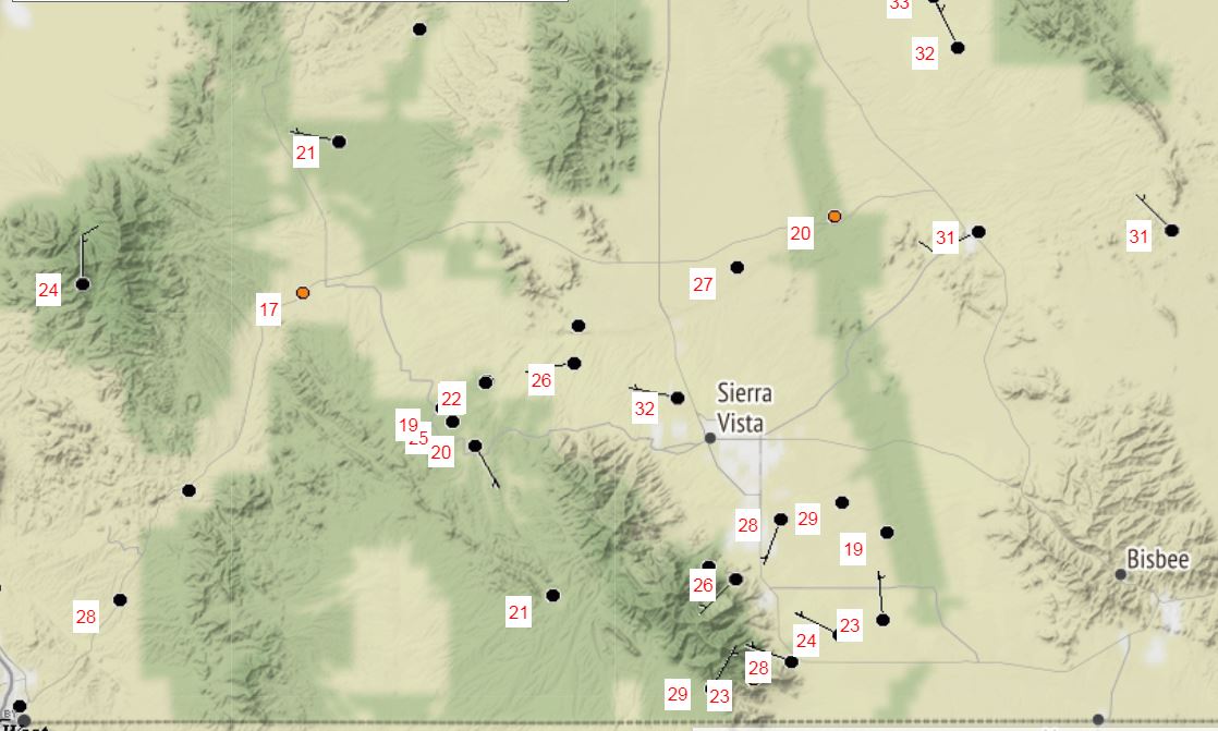
Main weather story this morning is the cold temperatures - lows this morning more than 20 F colder than yesterday's. Temperatures above and below are from MesoWest at about 6:50 am MST. Low temperature here at house reached 33 F - the coldest low since March 28th, which had 31 F.

The 500 mb low is nearly over head this morning - pretty much as has been forecast for the past few days. The observed wind for TWC at 500 mb was 350/12, so low center is a bit further east than indicated on the analysis above.
As the low moves eastward today and tonight there are a wide variety of watches and warnings in effect, as per graphic below. Most of New Mexico and northwest Texas are under a Winter Storm Warning. Forecasts indicate about 2 to 4 inches of snow likely in Albuquerque, but around a foot out in the Plains at Clovis.
Zeta hit Yucatan last night as hurricane and has now weakened as it moved into the Gulf of Mexico (GoM), but it is expected to intensify. The storm will approach southeast Louisiana as a Cat. 1 hurricane tomorrow afternoon (as per current NHC forecasts).


The morning sounding at TWC (above, from Univ. of Wyoming weather page) is quite interesting. Appears to me that the tropopause is very low and located around 500 mb.
Forecast plumes of temperature (below, from GEFS ensemble forecasts at 06 UTC) indicate a very rapid warm up - current NWS forecast indicates high temperatures reaching to near 90 F by the weekend. So, it appears our cool spell will be short-lived.


No comments:
Post a Comment